Sidney
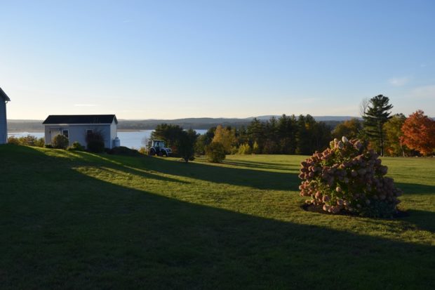
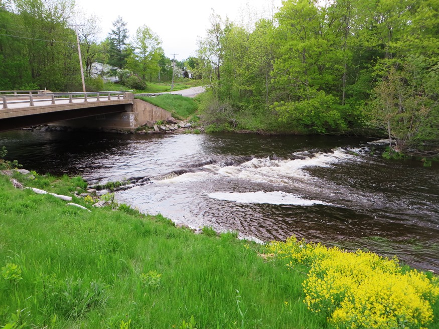
Bounded by the Kennebec on the east and Messalonskee Lake (the modern name for Snow’s Pond) on much of the west, Sidney is located between Augusta and Waterville. See photos. Sidney Bog is located in the southeastern corner of the town.
"Those seeking cold, hard statistics on Maine communities won't be disappointed." —Bangor Daily News
Bounded by the Kennebec on the east and Messalonskee Lake (the modern name for Snow’s Pond) on much of the west, Sidney is located between Augusta and Waterville. See photos. Sidney Bog is located in the southeastern corner of the town.
A suburb of Portland, the rapidly growing community now ranks as tenth most populous in Maine according to the 2000 U.S. Census, up from 13th place in 1990, having grown almost 36 percent in ten years. See photos. The Scarborough Marsh Wildlife Management Area is managed by the Maine Department of Inland Fisheries and Wildlife in a federal-state partnership program. The town’s fine beaches and the Scarborough Downs race track and off-track betting facility are attractions for many.
Year Population 1970 9,363 1980 8,240 1990 7,078 2000 6,472 2010 5,841 Geographic Data N. Latitude 44:31:19 W. Longitude 70:35:50 Maine House District 115 Maine Senate District 18 Congress District 2 Area sq. mi. (total) 69.9 Area sq. mi. (land) 68.6 Population/sq.mi. (land) 85.2 County: Oxford Total=land+water; Land=land only [RUM-frd] a town in Oxford…
")
The main village, Kezar Falls, shares its name with the other half of the community located across the Ossipee River in Parsonsfield, York County. Built in 1876, the two-span 152-foot covered bridge above crosses the Ossipee River. The town, which borders New Hampshire, is served by Maine Routes 160 and 25 (also known as the Ossipee Trail).
 N44° 15")
The Paris Hill neighborhood has several architecturally interesting old homes, while South Paris has been the industrial and manufacturing center. See photos. On the Stearns Hill Road the old Hungry Hollow schoolhouse sits on a small plot. South Paris village, split by the Little Androscoggin River, is the main population center and is half of the Norway-South Paris community.
The town is heavily influenced by the nearby University of Maine, and the long-lived Old Town Canoe Company maintains an outlet that attracts customers with a broad range of outdoor recreation interests. See photos. DeWitt Field, Old Town’s municipal airport, hash three runways. Since 1669, the area has been the principal home of the Penobscot Indians.
![House and Barn in Milo on Route 11 [Park Street] (2014)](https://maineanencyclopedia.com/wp-content/uploads/140426087-Copy-2-1.jpg)
Milo village lies just north of the junction of the Sebec and Piscataquis Rivers. The Pleasant River flows south through the town from Brownville to join the Piscataquis. Derby, on the east side of the Sebec River, is a service area for the Bangor and Aroostook Railroad.
The town is a suburb of Bangor lying just south of that city on U.S. Route 1A. It hosts a regional U.S. Post Office processing center. Hampden Academy was established in 1803. The Grange Hall, one of the first chartered Granges in 1880. See photos. While teaching here Stephen King was spending his spare time writing short stories and novels. It is the birthplace of social reformer Dorothea Dix. Settled in 1767 it was once known as Wheelersborough after the first settler, carpenter, and mill owner.
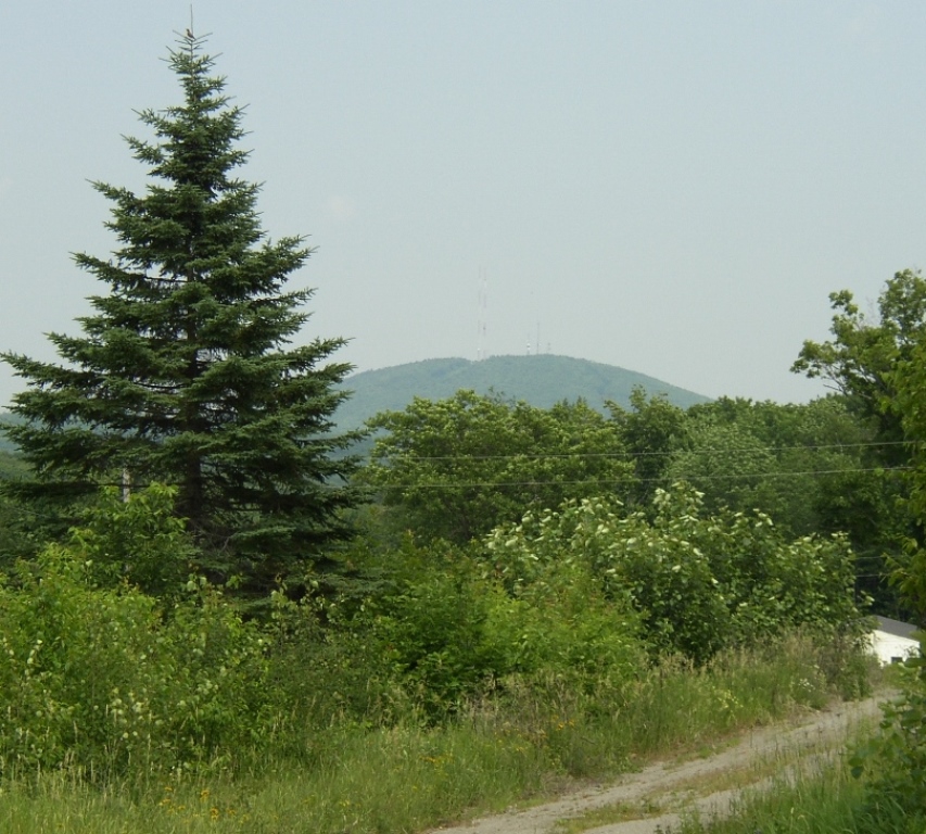
in Penobscot County, incorporated 1807, was named for Dr. Elijah Dix, who bought the town (and Dixfield). His granddaughter was the social reformer, Dorothea Lynde Dix. Maine Routes 9 and U.S. Route 202 pass through Dixmont and Dixmont Center villages, with long views of the surrounding area, and locally known “Dixmont Hill,” actually Peaked Mountain, with its communications antennas. See photos.
in Aroostook County incorporated in 1859. European settlers awaited the conclusion of the northern boundary dispute with Canada before arriving in force in 1843. Home to the Nylander Museum of Natural History, Caribou’s depends significantly on the potato industry. See photos.
")
Settled in 1772, known as Brookfield, Seven Mile Brook Plantation, and Titcomb Town, it is named for British Lord George Anson. In 1775, Benedict Arnold’s expedition camped at Norridgewock Falls, near the current town office.