Oxbow

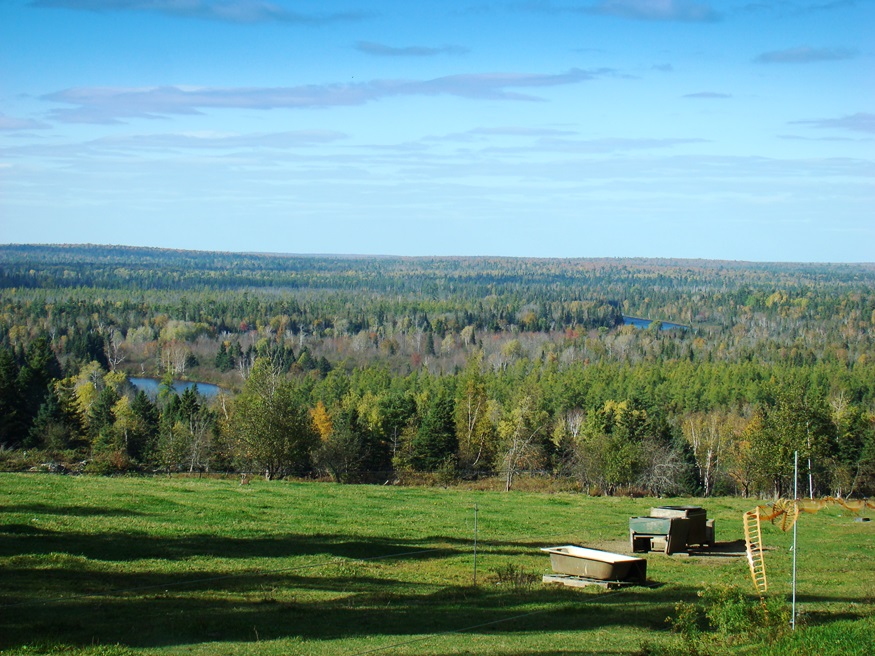
Panoramic View North from Oxbow Road (2008)

Virtually all of the plantation’s population is located along the Oxbow Road, leading West from Maine Route 11. See photos. Aroostook River through the area make shapes similar to oxbows, the harness that keeps oxen attached to their loads. The western end of the Oxbow Road is marked by the “Oxbow Checkpoint,” an entry point to the North Maine Woods, most of which is privately owned.

Island Falls

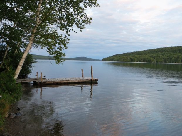
William Sewall became a wildlife guide and companion to Theodore Roosevelt in the 1870′s. The town has frontage on almost half of Pleasant Lake. See photos. The nearby Walker Settlement hosts a golf course and residential development near the lake. Several large homes recall the heady days when potato was king in the County. One of those was that of Governor Carl E. Milliken. Island Falls has had industry in the form of lumber mills, grist mills and a starch factory.