Westmanland

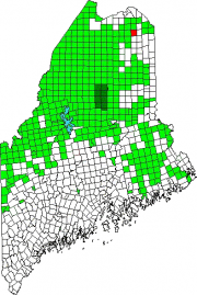
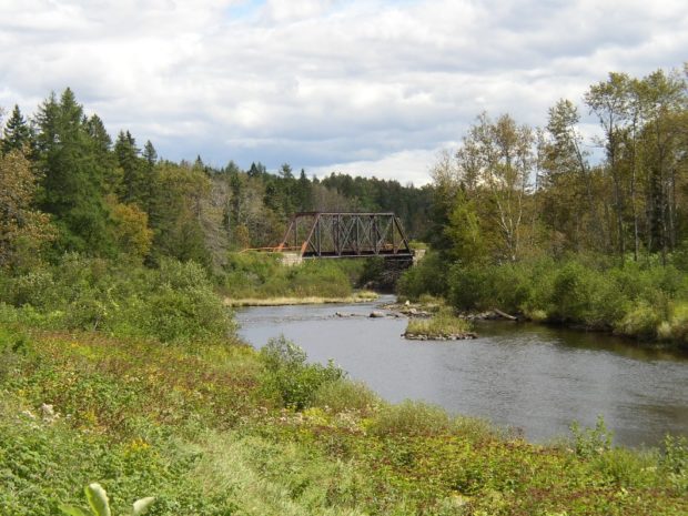
Located northwest of Caribou, this small community is accessible off State Route 161 that passes through nearby New Sweden. It was part of the “Swedish Colony” established in the 1870’s. The township is bisected with the Little Madawaska River flowing from southwest to northeast. A section of Maine Public Reserved Lands is a 965-acre original public lot, mostly covered by forest, near the southwest shoreline of lower Madawaska Lake.


