Oxbow

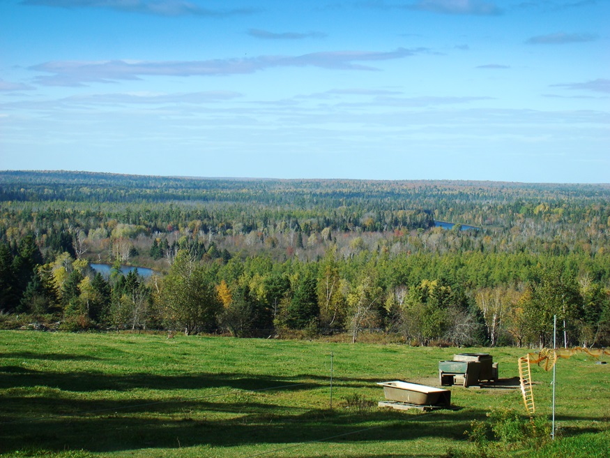
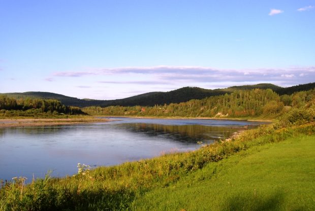
Panoramic View North from Oxbow Road (2008)

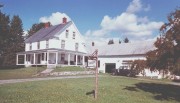
Virtually all of the plantation’s population is located along the Oxbow Road, leading West from Maine Route 11. See photos. Aroostook River through the area make shapes similar to oxbows, the harness that keeps oxen attached to their loads. The western end of the Oxbow Road is marked by the “Oxbow Checkpoint,” an entry point to the North Maine Woods, most of which is privately owned.

Moro Plantation

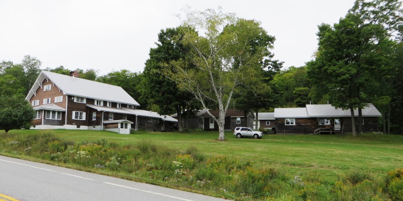
Katahdin Lodge on Route 11 in Moro Plantation (2014)

is located about 24 miles west of Houlton, and north of Patten on Maine Route 11. See photos. Rockabema Lake, the source of the West Branch of the Mattawamkeag River, occupies the north central portion of the township. A Scattering of small ponds lie just north of the lake, providing a fine source of fishing. The heavily wooded area supports hunting, guides, and hunting lodges.

Lumber Industry

Logging Equipment at a Sawmill in Belgrade (2003)

From earliest European presence, the Maine woods have been a source for masts, boat building, housing, and other structures. Later, the paper industry and recreational hunting, hiking, and camping, broadened its importance. Still later, people saw its role in absorbing greenhouse gasses, providing wildlife habitat wildlife, and protecting water resources.

Deer

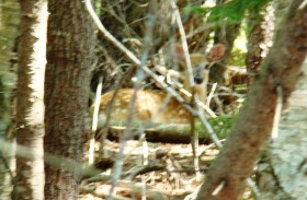
Lying Still After Discovery (2009)

From “WHITE-TAILS IN THE MAINE WOODS” by Gerry Lavigne, c. 1998 [major excerpts] Wildlife Biologist, Department of Inland Fisheries and Wildlife Deer Details Physical Characteristics Maine is home to one of the largest of the 30 recognized subspecies of white-tailed deer. After attaining maturity at age five, our bucks can reach record live weights of…

Allagash

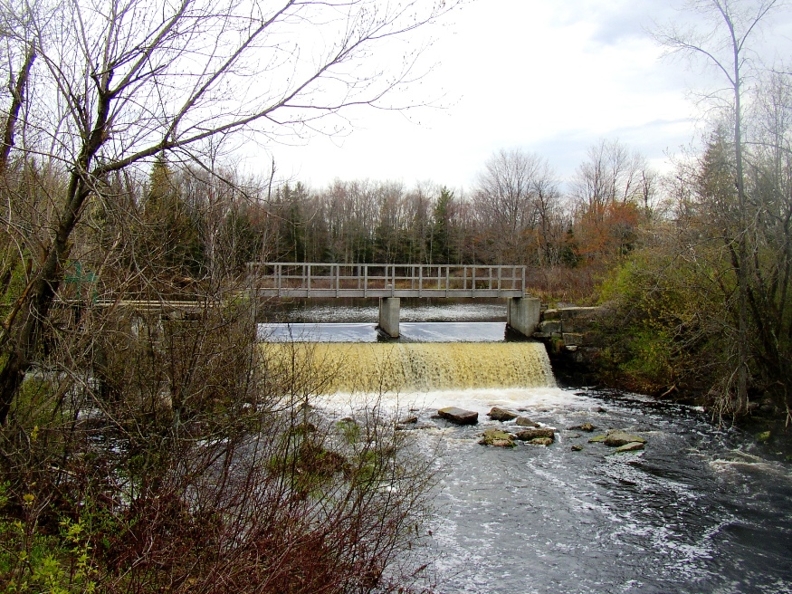
in Aroostook County, is at the mouth of the Allagash River as it enters the St, John. Large in area, small in population, hunting and camping is an economic asset. The Allagash River flows through the town and is the tenth longest in the State. At 69 miles, it drains 1,240 square miles in northern Maine. Across the St. John lies the small Canadian town of Connors.

Moose

Most text from Jennifer Vashon, Wildlife Biologist.  Maine Department of Inland Fisheries and Wildlife. Images, video and supplemental text by Jim Henderson. Along with Moose, the Encyclopedia features 15,000 images of lakes, farm buildings, barns, farmhouses, villages, cities, mountains, rivers,   Did You Know… ♦ A lactating cow has the highest nutritional requirements of any moose…

Aroostook County

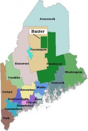
Map of Maine Counties and Baxter Park

the “rooftop of Maine,” John Steinbeck. This northernmost county, known as “the County,” is the state’s largest, established in 1839, during the “Aroostook War.” Famed for its potato growing, the County’s premiere crop has declined steadily, as has its population. Nevertheless, agriculture still dominates the County’s economy and its culture.