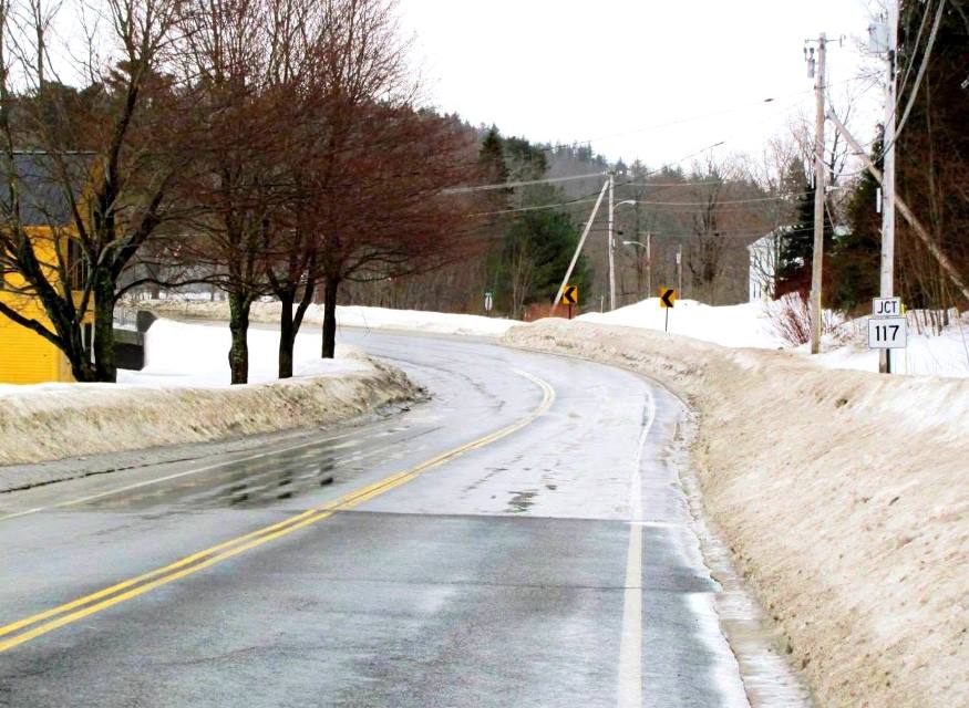
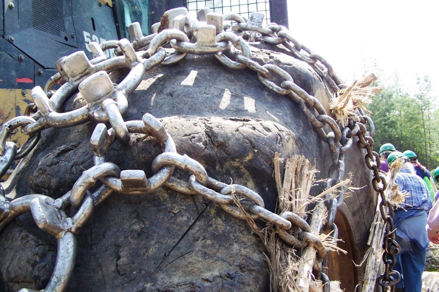
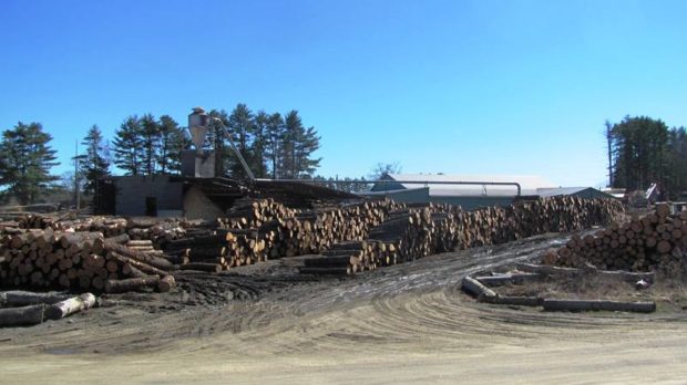
Forests of Maine

Forest Ownership (2013)

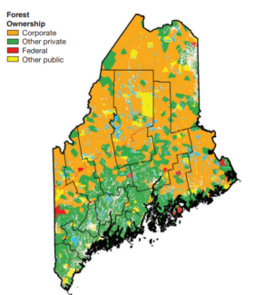
Maine contains an estimated 17.5 million acres of forest land in 2015. The acreage of forest land has been quite stable since 1960, covering more than 89 percent of the State’s total land area. The number of live trees greater than 1 inch in diameter is approaching 24.4 billion trees. Total timberland estimates reveal the…

Logging in Maine

Hunt Sawmill in Jefferson (2012)

The cutting and moving of logs destined for lumber or paper was a tough, manual effort until the second half of the 20th century. Here is an eyewitness assessment by Louise Dickenson Rich of logging camp life in the 1940’s near Middle Dam in western Maine. I also had to learn to differentiate between a…

Coltsfoot

Coltsfoot on Rocky Brook Road in T8 R8 WELS (2015)

Coltsfoot Wildflower Description These small yellow flowers lie face-up looking much like tiny suns, with a yellow button-like center and petals that jut out like small spikes of light.  The stem, an unusual scaly structure, is only eight inches high. Coltsfoot blooms from March to May.  These were seen on May 5th. Habitat Moist areas…

North Maine Woods

The 20 mile North Maine Woods checkpoint in the Pittston Academy Grant (T2 R4 NBKP) (2008)

North Maine Woods In addition to be a general term for the forests of northern Maine, North Maine Woods is an organization that manages access to a specific area of mostly privately own land. Land Ownership                           The complicated historic land ownership in…

T6 ND BPP

Fourth Lake Road in T6 ND BPP (2013)

     Fourth Lake Road in T6 ND BPP (2013) @ This township is just west of Grand Lake Stream Plantation.  Its Fourth Lake Road leads to the interior, to nearby lakes, including Pocumcus Micmac for “at the gravelly place.” * Eventually the road leads to a campsite and boat launch at Fourth Machias Lake…

Reed Plantation

House with Maple Sugar Shack "Crest Maple Farm" on Route 171 in Reed Plantation (2014)

The village is located on Maine Route 17 near the Mattawamkeag River and on the Wytopitlock stream. Other than Route 17, which runs through the through the western portion north to U.S. Route 2A, the Bancroft Road travels northeast from Wytopitlock to the Bancroft town line. These are the only improved roads. Two lots of Maine Public Reserved Land lie within the plantation: the 996-acre Thompson Deadwater Lot and the 539-acre Central-Wytopitlock Lot.

Otis

Boat Launch on Beech Hill Pond (2013)

Located just north of Ellsworth, the town is dominated by Floods Pond and Beech Hill Pond, with several smaller ponds and streams mixed in. See photos. The small, old cemetery and the working forest symbolize Otis’ past and present as a sparsely populated, wooded area off the major highways.

Insects, Biting

Female Deer Tick

Also see: Browntail Moth. Deer ticks are small, about 1/8 of an inch. They may reach 1/2 inch if swelled with blood. Lyme Disease Lyme disease is caused by a bacterium transmitted to a person through the bite of an infected deer tick. (Actually not an insect but, with eight legs, an arachnid.) Symptoms include the…

Hiram

Routes 5/13 entering Hiram Village from the North (2010)

The villages of Hiram and East Hiram are divided by the Saco River. Nearby Mount Cutler sports a hiking trail; a chain of ponds hugs the western border above South Hiram. Raymond Cotton, a storekeeper and author, made many home movies. See photos & 1938 video on blueberry farming. The community buildings (churches, library, grange, museum) are within walking distance in Hiram village.

Bowerbank

Skidder with baloon tires and chains at logging operation on Plum Creek land in Bowerbank (2010)

Bowerbank village has substantial frontage on Sebec Lake. The Montreal, Maine, and Atlantic Railway tracks span the northern portion of the township, eventually arriving at Brownville Junction. The large Maine landowner Plum Creek has substantial ownership in Bowerbank. Harvesting the forests with modern machinery is a spectacular sight. See video and map.