T3 R7 WELS
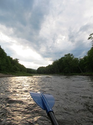
East of Baxter Park, it is home to Katahdin Woods & Water Recreation Area, Sandbank Campsite, Wassataquoik Public Reserved Land, and Whetstone Falls. West of Stacyville, access is by Swift Brook Road and a network of dirt roads.
"Those seeking cold, hard statistics on Maine communities won't be disappointed." —Bangor Daily News
East of Baxter Park, it is home to Katahdin Woods & Water Recreation Area, Sandbank Campsite, Wassataquoik Public Reserved Land, and Whetstone Falls. West of Stacyville, access is by Swift Brook Road and a network of dirt roads.

Windows on the River: East Branch Windows on the River: West Branch The Penobscot River Basin drains 8,680 +/- square miles in northeastern Maine. The main stem of the river flows for 105 miles from the confluence of its East and West Branches in Medway, south to its mouth in Penobscot Bay. Approximately 95% of…
")
Grindstone is north of East Millinocket on Route 11 in Penobscot County. Route 11, which follows the East Branch of the Penobscot River north to south, is the principal improved road. A short portion of the Madden Road in the south along a section of Dolby Pond is the only other improved surface. A tiny…
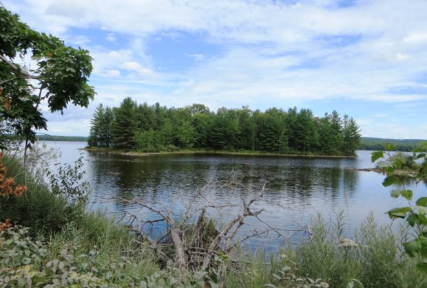
This is an unorganized township in Penobscot County just east of the north entrance to Baxter State Park. It is the gateway to that portion of the Park by way of the Grand Lake Road from Shin Pond along its southern boundary. The eastern portion of Grand Lake Matagamon dominates the western portion of…