TA R10 WELS

Area of TA R10 Township as represented in the 1952 Topographic Map.

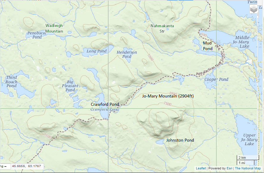
                  Area of TA R10 Township as represented in the 1952 Topographic Map. This township is immediately adjacent to T1 R11 WELS, host to the next northerly section of the AT. The trail generally tracks east-west, except for a short northwest-southeast section between Mud Pond and Lower…

TA R11 WELS

View from Little Boardman Mountain

View from Little Boardman Mountain (2007) The township is immediately west of TA R10 WELS, host to the next northerly section of the Appalachian Trail. Heading south, the AT follows Cooper Brook to Crawford Pond, the to the East Branch of the Pleasant River. Two AT shelters may be found in the township, one in…