Map Cabinet

Map of Maine 1778

The Map Cabinet offers selected images of historic maps of Maine. Most are from the Library of Congress where higher resolution versions are available by following the links listed under “Sources” below. The Library’s “permalinks” are permanent links to the associated images. “Image source:” links are those from which the images were acquired on the…

Westbrook

Immediately west of Portland but part of the Portland metropolitan area, Westbrook is home to industrial, professional, and commercial enterprises, as well as to a campus of Husson University. Flowing through the city is the Presumpscot River, whose name means “many rough places river. ” Now the 12th largest community in Maine by population, it was edged out of its 1990 11th largest position by Saco in the 2000 Census.

Waterville

Waterville is a regional service center for northern Kennebec and southern Somerset counties. See photos. Its downtown and the Kennedy Memorial Drive commercial strip provide business and professional services. It has been home to several U.S. Senators and Maine governors. Colby College is here.

Sanford

Sanford, with Springvale Village, is the seventh largest town or city in Maine by population according to the 2010 Census, up from a ranking of ninth in 1990. Traditionally an industrial town, primarily with textile mills and shoe making, Sanford has diversified and continues to be a growing community.

Saco

One half of the Biddeford-Saco metropolitan area, the city has its own extensive beach and Ferry Beach State Park. See photos. It is one stop on AMTRAK’s Downeaster rail service. Occupying the east side of the Saco River as it enters Saco Bay, the city is the eleventh largest community in Maine.

Presque Isle

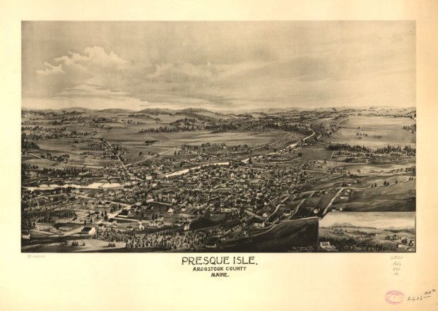
Presque Isle Birdseye View 1894

With many fine houses and a historic downtown, Presque Isle has its commercial strip like so many other communities. See photos. The University of Maine campus here provides educational and cultural opportunities for area residents. Aroostook State Park is located at the southern end of the town, on Echo Lake. The French presque isle means “almost an island,” based on the twists and turns of the Aroostook River and the Presque Isle Stream.

Portland

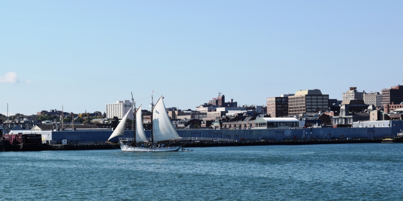
With its large population, financial and legal services, cultural and historical attractions, and “Old Port” dining and shopping district, the City is the only true metropolitan area in the state. See photos. Portland harbor is a working waterfront serving tankers, tourists, and fisheries, along with recreational boating from year-round and summer residents. Ferries connect the mainland to the many Casco Bay islands. Settled in 1632 and incorporated as a town on July 4, 1786, Portland became a city in 1833.

Old Town

The town is heavily influenced by the nearby University of Maine, and the long-lived Old Town Canoe Company maintains an outlet that attracts customers with a broad range of outdoor recreation interests. See photos. DeWitt Field, Old Town’s municipal airport, hash three runways. Since 1669, the area has been the principal home of the Penobscot Indians.

Local Government

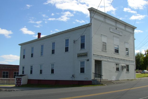
Anson Town Office on Main Street (2003)

in New England traces its origins to 1620 and the Mayflower Compact written and agreed to by the Pilgrims of Plymouth Colony. By 1652 the Colony asserted its authority over that part of Maine known then and now as York(shire) County. By having local townsmen sign a statement accepting that authority, the tradition of popular…

Bangor

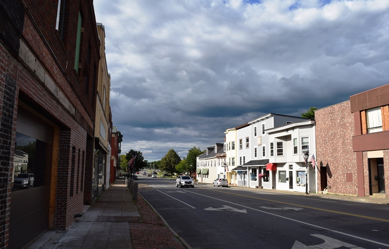
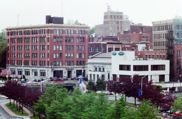
Bangor Downtown near the West Market Square Historic District (2001)

When Maine separated from Massachusetts in 1820, the vast Maine timberlands were put on the block for speculation, which drew investors and fortune hunters. By the 1830s, Bangor was building 500 structures annually. Dow Air Force Base provided an economic and civic boost during the Cold War until closing in 1968. The creation of Bangor International Airport turned the potential liability into an asset.