West Bath

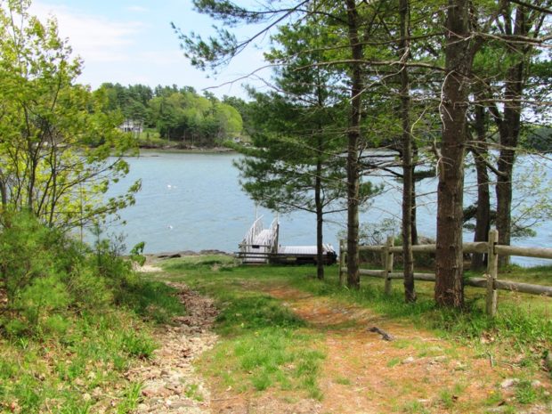
West and mostly south of Bath, it is bounded by the New Meadows River on the west and has several deeply indented coves on its south end. See photos. Although the town’s rural tradition is still evident in its buildings and remaining farms, much of the community is influenced by its extensive coastline, which is well protected from open ocean storms. Between Bath and Brunswick on the “by pass” limited access highway, West Bath is easy to miss but has more to offer than meets the fleeting eye.

Oxbow

Panoramic View North from Oxbow Road (2008)

Virtually all of the plantation’s population is located along the Oxbow Road, leading West from Maine Route 11. See photos. Aroostook River through the area make shapes similar to oxbows, the harness that keeps oxen attached to their loads. The western end of the Oxbow Road is marked by the “Oxbow Checkpoint,” an entry point to the North Maine Woods, most of which is privately owned.

Allagash

in Aroostook County, is at the mouth of the Allagash River as it enters the St, John. Large in area, small in population, hunting and camping is an economic asset. The Allagash River flows through the town and is the tenth longest in the State. At 69 miles, it drains 1,240 square miles in northern Maine. Across the St. John lies the small Canadian town of Connors.