T1 R8 WELS

Southwest shore of Millinocket Lake and Mount Katahdin from T1 R8 WELS

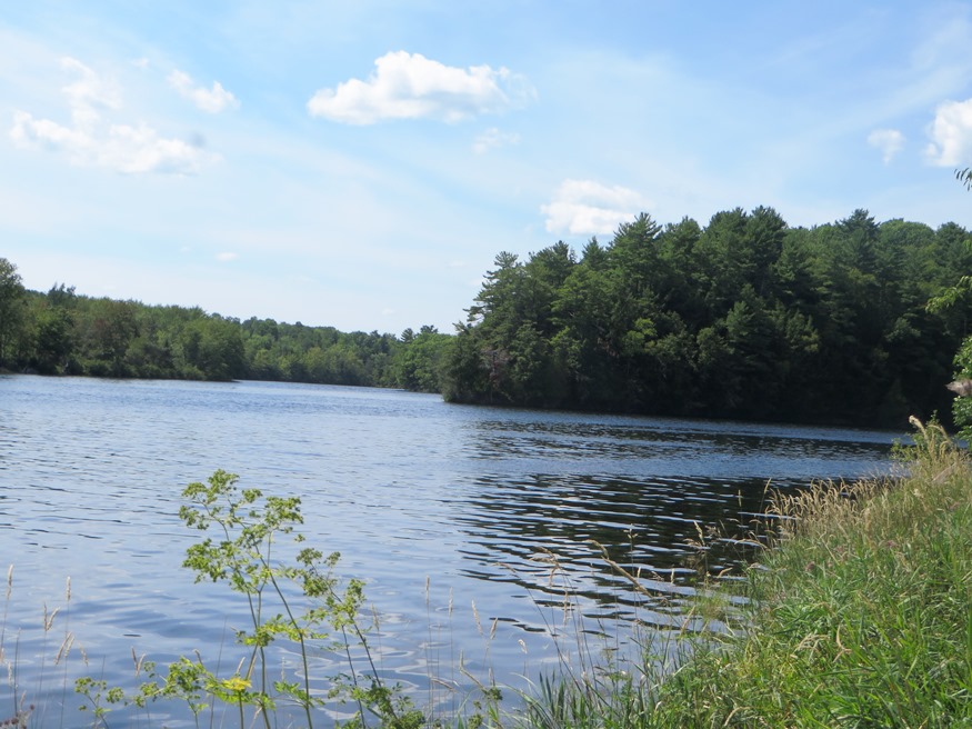
This township is just north of Millinocket on the Millinocket Lake Road, which trends northwest from Millinocket to the Lake and a boat launch. Millinocket Stream, the outlet from the Lake, flows south through the township to the Town of Millinocket. Smith Brook, the outlet for the 22 acre Little Smith Pond, flows through a…

A Fading History

Former 19th Century Josiah Locke Tavern

As time and tides take their toll, physical remnants of Maine’s history disappear. Fires and intentional demolition, or simple abandonment clean the slate for the next generation. Luckily the Maine Historic Preservation Commission and Maine Preservation, along with local organizations, have protected properties destined for demolition. Unfortunately, many historic community icons have, nevertheless, been lost.…

Dead River

The Dead River is one of the longest and most storied waterways in Maine. Its North Branch flows south from the Lower Pond in Chain of Ponds, Through Alder Stream Township and Jim Pond Township. The South Branch flows north from Saddleback Lake in Rangely through Dallas Plantation, Lang Township and Coplin Plantation.    …

T9 R8 WELS

Moose in the Gravel Pit off the Pit Road in T9 R8 WELS (2015)

                                     Moose in the Gravel Pit off the Pit Road in T9 R8 WELS (2015) Roads Pinkham Road is the main artery in this township from northeast to southwest.  Craigville Road joins Pinkham from the east, just south…

T11 R7 WELS

            Bridge over Machias River (North Branch) off Pinkham Road in T11 R7 WELS (2015) This township is just west of Garfield Plantation, both of which are within the North Maine Woods management area. The American Realty Road crosses the northeast corner and the Pinkham Road crosses the southeast corner. …

Bridges

Penobscot Narrows Bridge (2007)

Bridges may be classified by several factors: span, travel, form, and material. Five basic forms are arch, beam, cable-stayed, suspension, and truss. Of course, each form may serve several uses, including road vehicles, railroads, and pedestrians. Here are some examples in Maine. Bridge Forms The brief discussion of the basic forms below only begins to…

Indian Reservation, Penobscots

Indian Island in the Penobscot River (2005)

The Reservation in Penobscot County, is the home of the Penobscot Tribe of Maine’s Native American population, and is located on Indian Island in the Penobscot River and within the boundaries of the community of Old Town. See photos. The Penobscot Nation Council, headquartered on the Island, is composed of elected members, lead by a Chief and a Vice Chief. It is the birthplace in 1871 of Cleveland Indians baseball player Louis Sockalexis. Dancer and entertainer Molly Spotted Elk was born here in 1903.

Otisfield

Bridge Over the Crooked River from Otisfield to Harrison (2012)

Just north of the town of Casco on Maine Route 121, it offers substantial frontage on Pleasant and Thompson Lakes. The Crooked River serves as its boundary with Harrison. The Bell Hill Meetinghouse and Bell Hill Schoolhouse are well-preserved National Register historic structures in a rural setting.

Lebanon

This western-most town borders New Hampshire on the Salmon Falls River. A rapidly growing rural commuter community, Lebanon tripled its population between 1970 and 2010, adding 20% between 2000 and 2010. Settled in 1743, it was incorporated 1767. A meeting house was erected in 1753, two garrison houses in 1755, and a parsonage in 1759.

Houlton

In 1828 a military post was established and the military road to supply the post was completed in 1832. The garrison stayed until the Webster-Ashburton treaty was completed in 1842. See photos. Served by the New Brunswick and Canada Railway as late as 1886. By 1894 the new Bangor and Aroostook Railroad connected the town to central Maine. The “Houlton Band” of the Maliseet Indians has its tribal offices near the Canadian border.