Perham

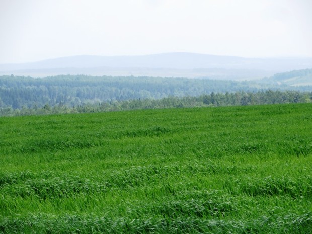
The northern portion is dominated by a section of Maine Public Reserved Land, some of which encompasses the Salmon Brook Lake. A 1,055-acre Ecological Reserve surrounds the lake and wetlands. The 59-mile multi-use Bangor and Aroostook Trail is a located in Perham, Caribou, and other area towns. The trail, formerly a Bangor and Aroostook Railroad corridor, passes along the western side of Salmon Brook Lake Bog in Perham. Located west of Caribou on Maine Route 228. Perham is an agricultural community.


![Upper Gordon Falls on the Mattawamkeag River (2016) [See video]](https://maineanencyclopedia.com/wp-content/uploads/160425-RW014-Copy.jpg)