Winn

Winn village is on U.S. Route 2 between Lincoln and Mattawamkeag on the east bank of the Penobscot River. See photos. During the 19th century, International Paper Company harvested wood to supply its pulp and paper mills. Winn is an agricultural community slowly losing its small population as are many northern Maine towns.

")
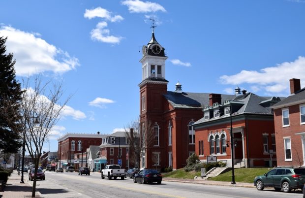
 One of a dozen historic buildings in the East Main Street Historic District.")