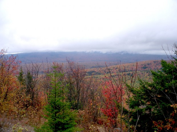
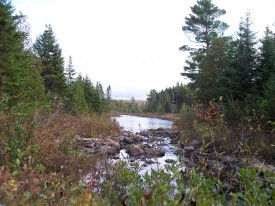
View from Little Boardman Mountain (2007)
The township is immediately west of TA R10 WELS, host to the next northerly section of the Appalachian Trail. Heading south, the AT follows Cooper Brook to Crawford Pond, the to the East Branch of the Pleasant River. Two AT shelters may be found in the township, one in the southwest on the East Branch of the Pleasant River, and one on Cooper Brook in the northeast. Throughout the township the trail is relatively free of steep inclines.
This space has a rare complex of more than a dozen ponds, the east branch of the Pleasant River, and three mountains over 1,000 feet, providing spectacular views to the surrounding peaks.
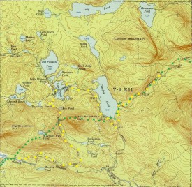
In 1952 the Appalachian Trail followed a longer and more circuitous route through the township (yellow dots on the map). On the northern route, instead of tracking near Mountain View Pond, it followed the East Branch of the Pleasant River for about two miles before taking a sharp turn northward to Yoke Ponds. After crossing the ponds, it turned south along the western shore of Crawford Pond before joining the current route (green dots on the map) at the southeast shore of the pond.
The Johnston Pond Road is the only improved road in the township, extending from near Upper Jo-Mary Lake in TA R10 WELS. The Appalachian Trail crosses the road at the south end of Crawford Pond.
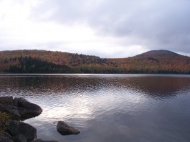
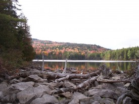
As one may see from the map, the township has several substantial ponds at its center: Rocky, Crawford, Big Pleasant, the Yokes, Alligator, Seventh Roach and Boardway. Long and Henderson ponds sit on the northern boundary. Several smaller ponds also dot the landscape.
The topographic maps weres created from the University of New Hampshire Dimond Library, Documents Department & Data Center, Historic USGS Maps of New England & New York, accessed 1/16/2008: Jo-Mary Mountain, ME Quadrangle (1952), http://docs.unh.edu/nhtopos/Jo-MaryMountain.htm.
Photos courtesy of Brady G. Williams, 2007.


