Historic Topographic Map of T9 R9

Historic Topographic Map of T9 R9

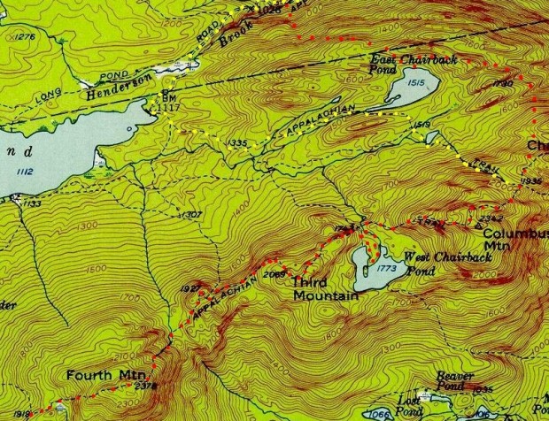
This township is immediately south of the Bowdoin College Grant East, host to the next northerly section of the AT. The Trail (red dots on the maps) runs from East Chairback Pond, over Chairback Mountain, past West Chairback Pond to Third Mountain and Fourth Mountain in the western edge of the township.

In the 1940’s the Appalachian Trail (yellow dots) turned west along the stream near Columbus Mountain, passed the western edge of East Chairback Pond and the eastern shore of Long Pond before moving north to join Long Pond Road.

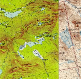
Detail from 1950 Topographic Map of T7 R9

Detail from 1950 Topographic Map of T7 R9

Topographic maps were created from the University of New Hampshire Dimond Library, Documents Department & Data Center, Historic USGS Maps of New England & New York, accessed 1/15/2008: Sebec, ME Quadrangle (1943), http://docs.unh.edu/nhtopos/Sebec.htm; and Sebec Lake, ME Quadrangle (1950) http://docs.unh.edu/nhtopos/SebecLake.htm.

AT South Boot Icon<= South      Appalachian Trail – click a boot      North AT North Boot Icon=>

Leave a Reply

Your email address will not be published. Required fields are marked *

Post comment