Most of this township is part of the Katahdin Woods and Waters National Monument. The exception is a portion in its northwest corner around Katahdin Lake, now part of Baxter State Park. The balance of the township is crossed with many miles of unimproved (dirt) roads.
The National Monument here is accessible east of Stacyville through T3 R7 WELS over Whetstone Falls on the East Branch of the Penobscot Rover on Swift Brook Road, which connects with the Katahdin Loop Road. The Loop runs northwest to Katahdin Brook Lean-To, then south bypassing the Sea Fury Crash Site where a F101B jet from Dow Airforce Base in Bangor crashed in November 1962. Kataddin Loop in the southeast passes the 1,357-foot Kelloch Mountain, then connects again with Swift Brook Road near Wassataquoik Mountain.
Moose Pond in T3 R8 WELS is frequented by that creature and is a favorite viewing spot, often in early evening.
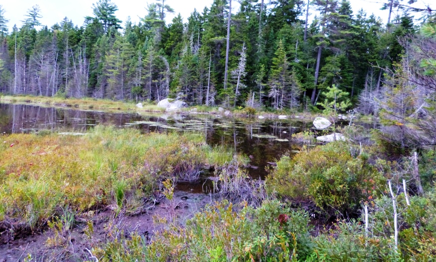
Moose Pond, frequented, awaiting a visitor (2014)
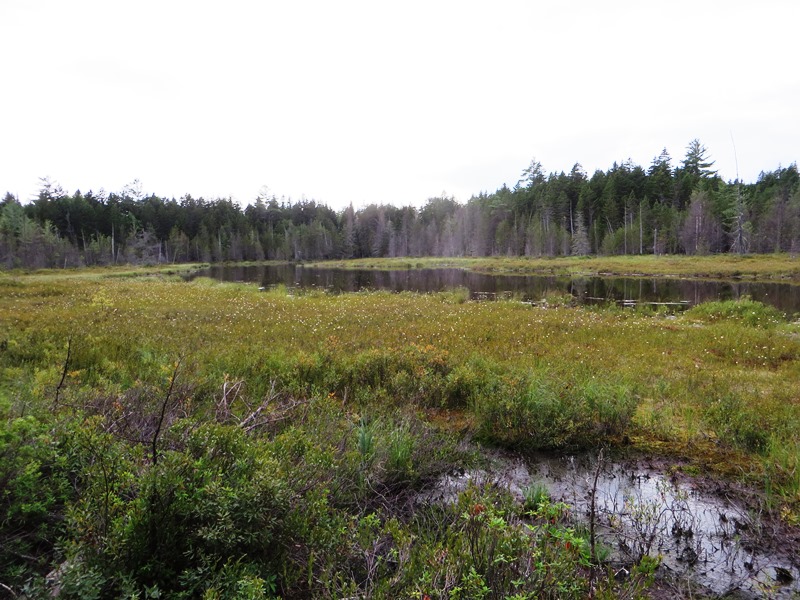
Moose Pond (2014)
")
Directions to Moose Pond (2014)
Wassataquoik Stream runs through the northeast corner of the township, soon to enter the Penobscot’s East Branch.
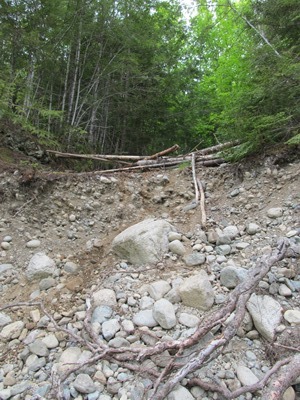
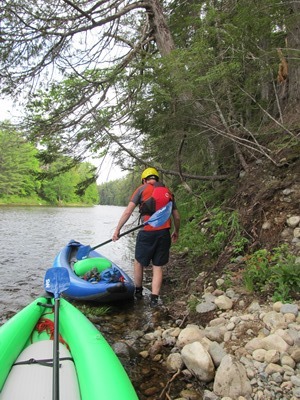
Most of the Township is within the Katahdin Woods and Waters National Monument. While it has no lakes or major ponds, Wassataquoik Stream passes through its northeast corner, soon to enter the Penobscot River’s East Branch.. Fording the Wassataquoik should be done with care at low water (best in late summer) and slippery rocks. Moose Pond photos by Rebecca Williams (2014).
The National Monument here is accessible east of Stacyville through T3 R7 WELS over Whetstone Falls on the East Branch of the Penobscot Rover on Swift Brook Road, which connects with the Katahdin Loop Road. The Loop runs northwest to Katahdin Brook Lean-To, then south bypassing the Sea Fury Crash Site where a F101B jet from Dow Airforce Base in Bangor crashed in November 1962. Kataddin Loop passes the 1,357-foot Kelloch Mountain, then connects again with Swift Brook Road near Wassataquoik Mountain.
A lean-to and picnic area on the Wassataquoik near Barnard Mountain and the fording location above. It includes a primitive canoe/kayak launch site. (photos below)
-

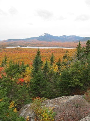
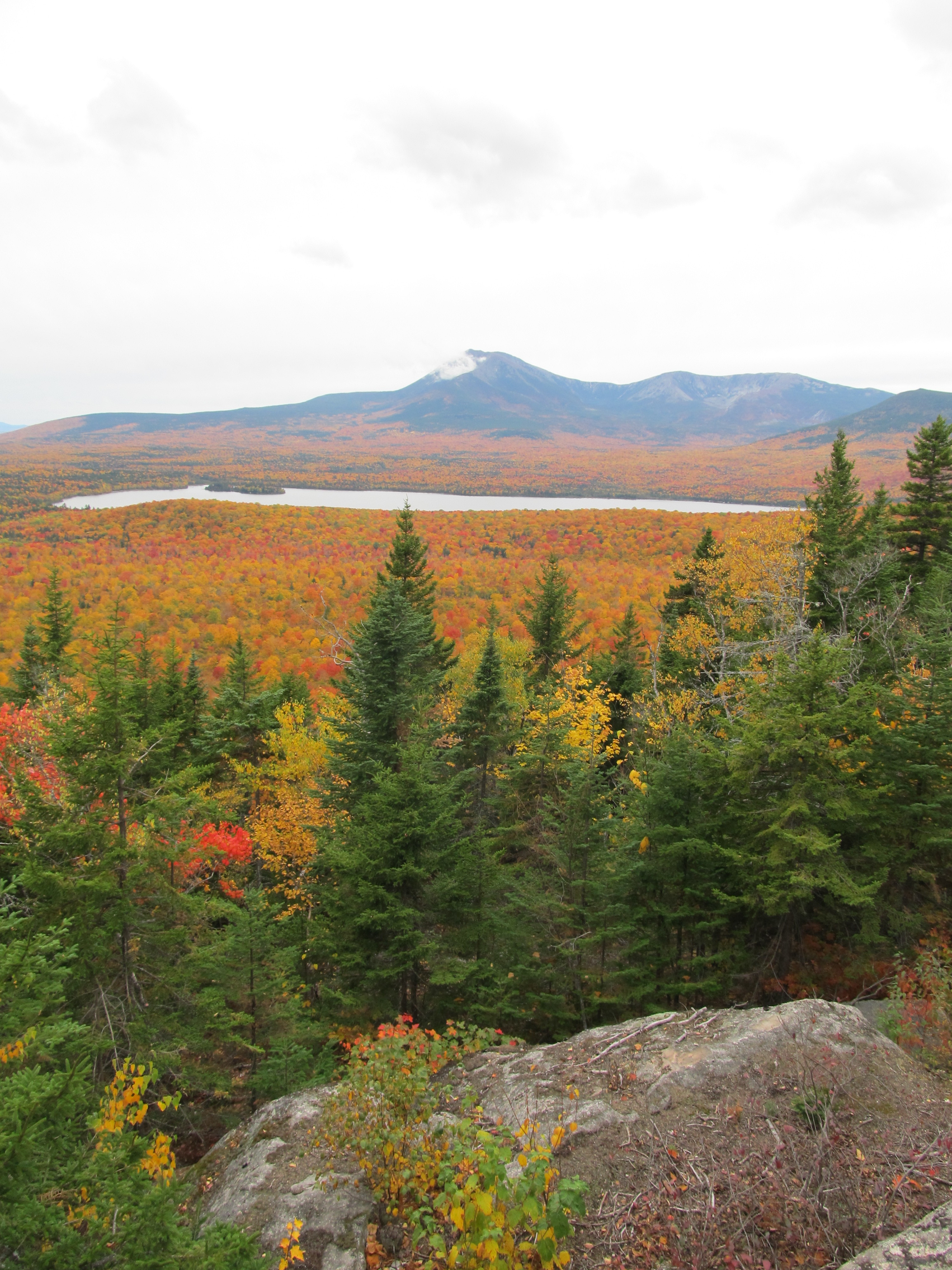
Katahdin Lake and Katahdin from summit of Barnard Mountain in T3 R8 (2016) -
Brady Williams photos