-

Wassataquoik Stream (2019) -
Wassataquoik Stream (2019)
") This township, in Penobscot County, is immediately west of Stacyville and one township removed east of Baxter State Park. It contains the Wassataquoik section of Maine Public Reserved Lands.
This township, in Penobscot County, is immediately west of Stacyville and one township removed east of Baxter State Park. It contains the Wassataquoik section of Maine Public Reserved Lands.
 T3 R7 WELS, in 2014, was also home to Katahdin Woods & Waters Recreation Area on land owned by Elliotsville Plantation, Inc., not to be confused with Elliotsville Township (once a plantation) in Piscataquis County near Greenville.
The Lunksoos Area includes a canoe launch, several campsites, trails, water access, and miles of dirt roads. Sand Stream Campsite (N45° 51′ 46.33″ W68° 40′ 28.33″) is one location.
")
Sandbank Campsite (2014)
")
Campsite Kiosk (2014)
")
Sandbank Stream Boat Launch (2014)
")
Sandbank Stream at the Campsite (2014)
Whetstone Falls (N45° 43′ 44.52″ W68° 35′ 12.26″) on the Penobscot River’s East Branch is an attraction for its rugged waterway, though not the typical high drop waterfall. Fishing, picnicking, canoeing, and just plain relaxing are all available.
Mert “Mutt” Lane was a beloved resident of nearby Sherman memorialized in the picnic area photo below.
")
Sand Beach at Whetstone (’14)
")
Rock Beach at Whetstone (’14)
")
Picnic Area at Whetstone (’14)
A very small unnamed pond (N45° 52′ 12.59″ W68° 42′ 26.54″) offers an opportunity to observe a moose in the evening. Parking is about 50 feet from the short trail to pond.
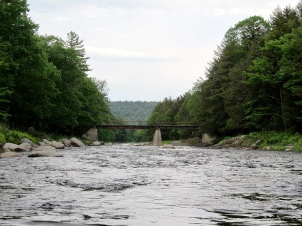
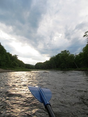
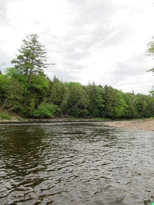
T3 R7 WELS contains the lower portion of Wassataquoik Stream, a storied waterway throughout the Lunksoos area, through Katahdin Woods and Waters National Monument and a section of Maine Public Reserved Land. (Wassataquoik Stream photos by Brady G. Williams)
")
Wassataquoik Stream (2019)
Trout Pond is just below the western township line in Soldiertown Township (T2 R7 WELS).
")
Entrance to Unnamed Pond (2014)
")
Unnamed “Moose View” Pond (2014)
More Videos!
Additional resources
Ward, Kent. “Evert town needs a ‘Mert’ Lane.” Bangor Daily News. March 7-8, 1998. http://news.google.com/newspapers?nid=2457&dat=19980306&id=qqtJAAAAIBAJ&sjid=bw4NAAAAIBAJ&pg=4715,1586115 (accessed August 8, 2014)