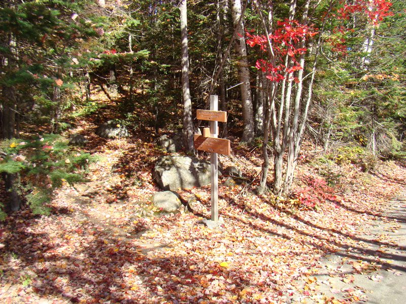
Signs at southbound Appalachian Trail Crossing at Moxie Pond (2007)

Moxie Bog

The mountain is in mid-eastern Somerset County immediately west of Blanchard, host to the next northerly section of the Appalachian Trail. It should not be confused with Bald Mountain Township T4 R3 NBKP, in northwestern Somerset County north of Moose River.
Access is by taking the unimproved Townline Road north off Route 16 in Moscow, just west of the Mayfield Township line. At the junction with the Deadwater Road, a right then a left brings one to the Troutdale Road, which runs along the Bald Mountain Township’s western border to Moxie Bog and Moxie Pond.
The Appalachian Trail here begins at Moxie Pond, crosses Baker Stream, and leads upward to the Bald Mountain Brook Lean-to on the mountain’s western slope just off the path.

sign: Bald Mt. Brook Lean-to

Bald Mountain Brook . . .

. . . Lean-to on the AT
The trail continues west along Bald Mountain Pond and over Bald Mountain, sometimes called Moxie Bald Mountain to distinguish it from other “Bald Mountains” in Maine.

Old AT Crossing at Moxie Pond

2007 AT Crossing . . .

. . . at Nearby Baker Stream
Eight-mile long Moxie Pond reaches nearly two miles into the northwest where the Appalachian Trail crosses into the township.
The Troutdale Road passes over Baker Stream and by Moxie Bog and Moxie Pond, providing access to the AT as it crosses the road and the stream.
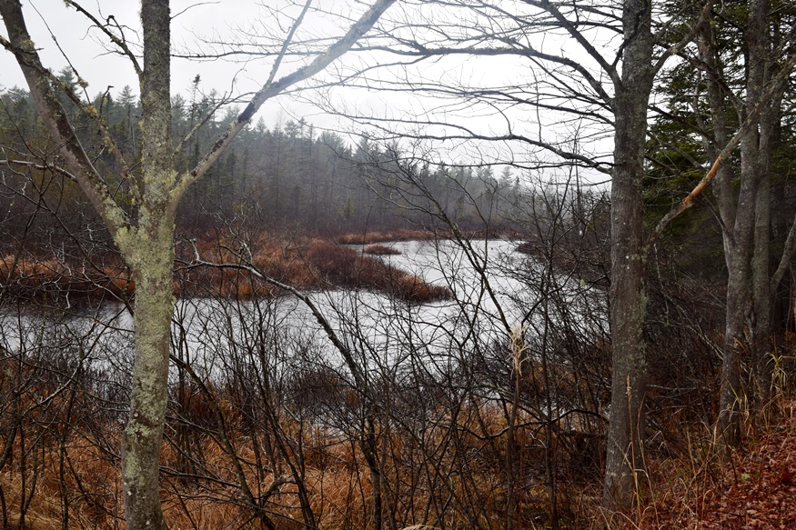
Moxie Bog off Troutdale Road (2019)

Troutdale Road over Baker Stream

Moxie Pond near the AT

Directional Sign at the Crossing
Bald Mountain Pond, located in the northeast corner of the township, is about two miles long and a mile wide, with a long peninsular extending into the pond from its northwest shore. The pond’s northern portion is part of the Maine Public Reserved Land system. [All photos taken in 2007]
![]() <= South Appalachian Trail – click a boot North
<= South Appalachian Trail – click a boot North ![]() =>
=>