-

- Arriving at Swans Island

-
- Church of God
-
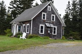
- Museum near the Terminal

-
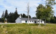
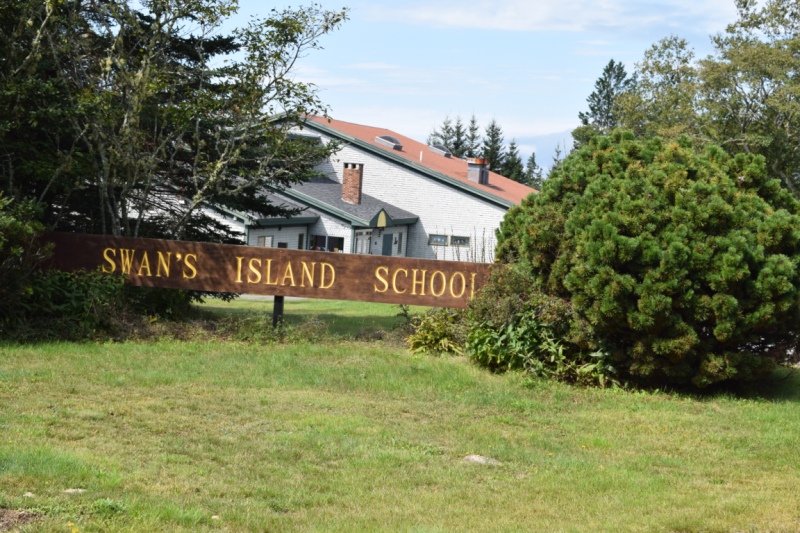
- Island School

-
- School Playground

-
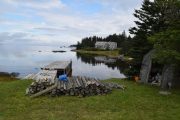
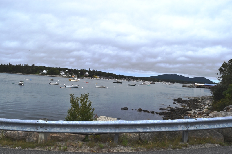
- Overlooking a Cove
-
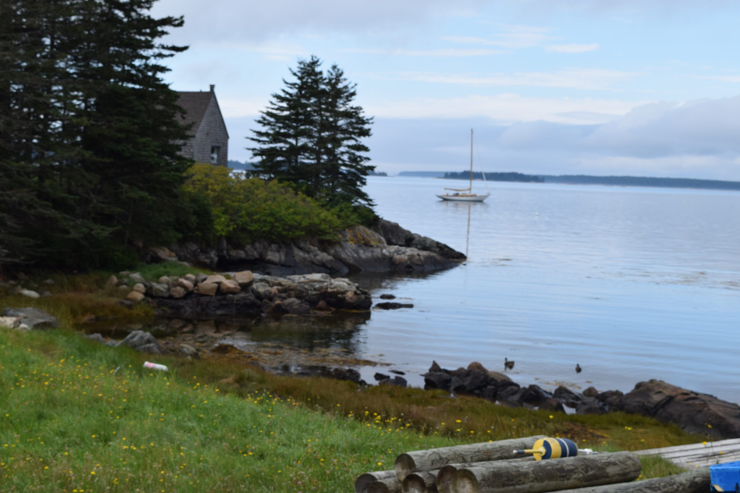
- House overlooking a Cove

-
- Small Dock at a Cove
-
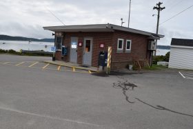
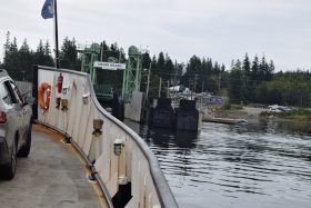
- Bass Harbor Terminal
-
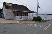
- Island Terminal Building


")

Location Map for Swan’s Island
| Year | Population |
|---|---|
| 1970 | 328 |
| 1980 | 337 |
| 1990 | 348 |
| 2000 | 327 |
| 2010 | 332 |
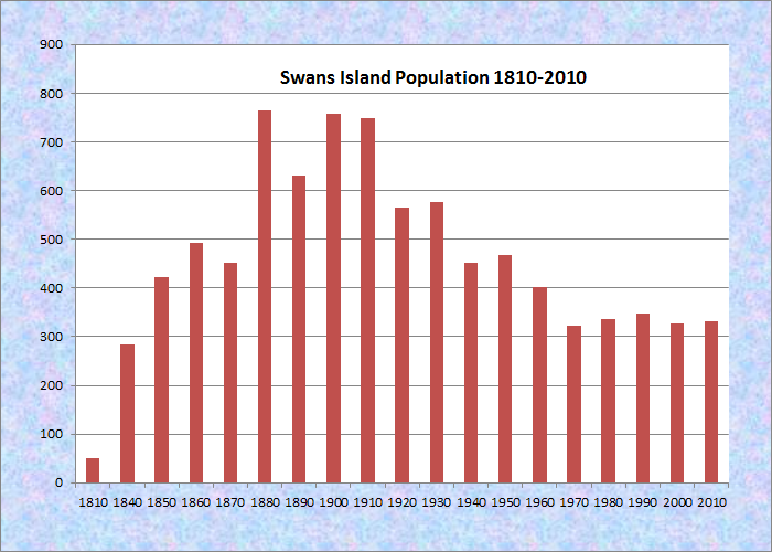
Population Trend 1810-2010
| Geographic Data | |
|---|---|
| N. Latitude | 44:06:33 |
| W. Longitude | 68:28:03 |
| Maine House | District 134 |
| Maine Senate | District 7 |
| Congress | District 2 |
| Area sq. mi. | (total) 82.4 |
| Area sq. mi. | (land) 14.0 |
| Population/sq.mi. | (land) 23.7 |
County: Hancock
Total=land+water; Land=land only |
|
Swan’s Island is a town in Hancock County, incorporated on March 26, 1897 from Swan’s Island Plantation.
In 1901 it annexed Calf and West Black Islands from Long Island Plantation. It is southeast of Mount Desert Island, accessible by ferry from Bass Harbor in Tremont. (not to be confused with Swan Island in the Kennebec River near Richmond)
In 1750 Indians attacked the settlement on the island, kidnapped the Whidden family and, as was the practice of the time, sold them into slavery in Canada.
The explorer Samuel de Champlain visited the island a century and a half before Colonel James Swan of Fifeshire, Scotland purchased it in 1765.
Swan’s Island Church of God
Champlain, possibly noticing that an early settler had burned the vegetation off a hill, dubbed the island BruBurnt Hill.
Through the succeeding years, the words evolved into “Burnt Coat,” a name that remains for the long harbor at the south of the island, which lies six miles southwest of Mount Desert and Acadia National Park.
The Lobster and Marine Museum is just a few steps from the ferry terminal. Three small villages, Atlantic, Minturn and Swan’s Island are scattered on the island.
Attractions include hiking trails, two beaches, Quarry Pond for swimming, and the lighthouse at Burnt Coat Harbor.
Mr. Swan was an avid patriot, participating in the famous Boston Tea Party, later becoming a ember of the Massachusetts Legislature and Adjutant General of that state.
Col Swan built a mansion on the island but, on a trip to Paris, he was thrown, unjustly, into debtor’s prison by the French in 1808 and remained there for twenty-two years, dying days after his release.
As was the case for many islands, fishing and boat building were major occupations, with lobstering emerging as a major source of income in the late nineteenth century, and remains so in the early twenty-first century.
Beaches and picnic areas may be found at the villages of Minturn and Atlantic in addition to Swan’s Island Village..
-
- Bass Harbor Terminal
-
- Ferry Terminal in Bass Harbor
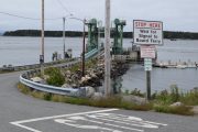
Bass Harbor near the ferry departure (2021)

Island home overlooking a cove near the ferry landing (2021)
Beaches and picnic areas may be found at the villages of Minturn and Atlantic, in addition to Swan’s Island village.
The Swan’s Island ferry operates from Bass Harbor at the southern tip of Mount Desert Island, bringing summer residents and visitors, who nearly triple the island’s population to over 1,000 during the season.
See film click below!
For a view of the ferry ride in 1959, see this amateur film clip from the archives of Northeast Historic Film.
National Register of Historic Places – Listings
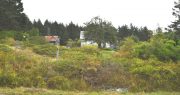
Burnt Coat Harbor Light Station
[Hockamock Head] The Burnt Coat Harbor Light Station was established in 1872 as a guide to Burnt Coat Harbor on Swan’s Island.
The 1871 edition of the Annual Report of the Light-House Board states that the range light at Burnt Coat Harbor was built as a guide to this harbor of refuge. It further commented that “this harbor is commodious and safe, and is a distant 36 miles from the nearest place of safe anchorage on that coast.”
")
Burnt Coat Light Harbor Light Station Oil House (1987)
")
Burnt Coat Light Harbor Light Station Bell House (1987)
The virtually intact exterior features of the house and tower are examples of the form that these components took in the early 1870s. Burnt Coat Harbor Light was automated in 1975. The house was unoccupied in 1987, but the tower continues to house an aid to navigation.
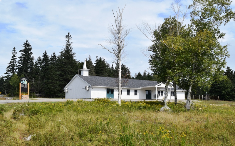
Atlantic Schoolhouse, Town Road, South side Atlantic. (Now a modern school, with a vegetable garden on site.)
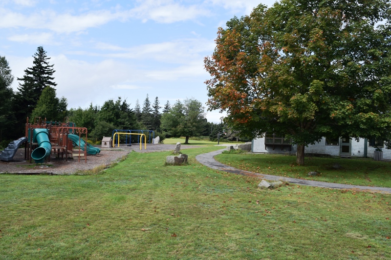
Playground at the Island School


<== Up West Downeast ==>
Form of Government: Town Meeting-Select Board.
More Videos!
Additional resources
Graff, Nancy Price. The Call of the Running Tide: A Portrait of an Island Family. Photographs, Richard Howard. Boston: Little, Brown. c1992.
Small, Herman Wesley, 1865-1937. A History of Swan’s Island, Maine. Ellsworth, Me. Hancock County Publishing Co. 1898.
Swan’s Island Comprehensive Plan, January, 1994. Swan’s Island, Me. Comprehensive Planning Committee., 1994. (See Town Office for recent editions.)
Wheaton, Edward L. Images of Swan’s Island Past and Present. Gardiner, Me. Steele Publishing Co. 1989.
-
- Museum near the Terminal
-
- Arriving at Swans Island
-
- Island Terminal Building