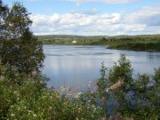
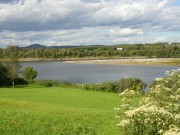
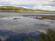
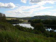
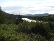
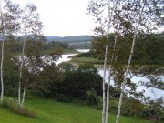
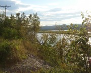
begins, in its Southwest Branch, from Little St. John Lake in the unorganized township of T5 R20 WELS on Maine’s northwestern border with the province of Quebec, Canada. The Northwest Branch is born in Beaver Pond in the northwestern township T12 R17 WELS. This Branch is joined by the Daaquam River flowing from Quebec.
The two branches combine to form the St. John River in Big Ten Township. Its 331 mile length drains 8,765 square miles of mostly wilderness until it again forms the border with Canada, this time with the Province of New Brunswick, at the town of St. Francis.
The River, the longest in Maine, flows through the towns of Allagash, St. Francis, St. John (Plantation), Fort Kent, Frenchville, Madawaska, Grand Isle, Van Buren, and Hamlin before becoming completely absorbed in New Brunswick.
The St. John played an important role in the escape of many Acadians from English oppression in the 1750’s, serving as a water route to the St. John Valley, home to the above-mentioned communities.
Almost one hundred years later, it defined much of Maine’s border with Canada as a result of the Webster-Ashburton Treaty of 1842.
Photos are ordered from east to west, taken in 2003, from U.S. Route 1 to Fort Kent, and from Maine Route 161 thereafter.
Additional resources
Farrar, Charles A. J. Farrar’s Illustrated Guide Book to Moosehead Lake, Katahdin Iron Works and Vicinity … with a new and correct map of the lake region … also contains the game and fish laws of Maine. Boston. Lee and Shepard. 1889. [University of Maine, Raymond H. Fogler Library, Special Collections; University of Maine at Augusta; Bangor Public Library]
Fontaine, Richard A. Drainage Areas of Surface Wter Bodies of the St. John River Basin in Northern Maine. Augusta, Me. U.S. Geological Survey. 1982.
International Commission Pertaining to the St. John River. Evidence taken from St. John River commission, 1909-1916. 1972. [Bangor Public Library]
Lockerbie, David Malcolm. Results of 1986 Water Quality Objectives Compliance Monitoring: International Saint John River Basin. Moncton, N.B. Environment Canada, Inland Waters Directorate, Atlantic Region, Water Quality Branch. 1987. University of Maine at Fort Kent, blake Library]
Springer, John S. Forest Life and Forest Trees: comprising winter camp-life among the loggers and wild-wood adventures, with descriptions of lumbering operations on the various rivers of Maine and New Brunswick. Somersworth, N.H. New Hampshire Pub. Co. 1971.
St. John River Resource Protection Plan. Augusta, Me. Maine Land Use Regulation Commission. 2002. [University of Maine at Fort Kent. Blake Library]
Ward, Edmund. An Account of the River St. John, with its tributary rivers and lakes. Fredericton, N.B. 1841 [i.e. 1842] (Sentinel Office) [University of Maine at Presque Isle, Library and Learning Resource Center]
Wright, Esther Clark. The St. John River and its Tributaries. Wolfville, N.S. The Author? c1966.


