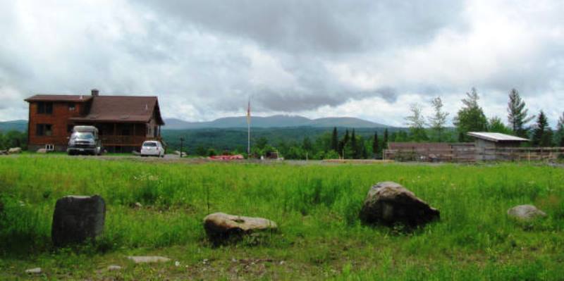
House with Mountain View on the Lower Shirley Corner Road in Shirley (2011)

Location Map for Shirley
| Year | Population |
|---|---|
| 1970 | 174 |
| 1980 | 271 |
| 1990 | 242 |
| 2000 | 183 |
| 2010 | 233 |

Population Trend 1840-2010
| Geographic Data | |
|---|---|
| N. Latitude | 45:20:51 |
| W. Longitude | 69:37:53 |
| Maine House | District 119 |
| Maine Senate | District 4 |
| Congress | District 2 |
| Area sq. mi. | (total) 53.8 |
| Area sq. mi. | (land) 52.9 |
| Population/sq.mi. | (land) 4.4 |
County: Piscataquis
Total=land+water; Land=land only |
|
 N45° 21' 54.9\" W69° 37' 25.2\"")
Birthplace of “Bill” Nye (’11) @
 N45° 21' 58.00\" W69° 37' 10.50\"")
Sign at Shirley Pond, near old Bangor & Aroostook tracks now a road (2011) @
") [SHEHR-lee] is a town in Piscataquis County, incorporated on March 4, 1834 from the township T3 R4 BKP, EKR.
[SHEHR-lee] is a town in Piscataquis County, incorporated on March 4, 1834 from the township T3 R4 BKP, EKR.
It annexed part of the town of Wilson in 1848, the year before that town was dissolved and its remains parceled out to Greenville and Elliottsville.
Shirley was first settled in 1825.
The town was named for the Massachusetts hometown of Joseph Kelsey, the local Representative to the Maine Legislature at the time of incorporation.
The town of Shirley is just south of Greenville on Maine combined Routes 6 and 15.
Its main village, Shirley Mills, grew up around early 19th century clapboard and saw mills, using water from the Piscataquis River.
")
Shirley Mills Village (2011)
")
Houses in Shirley Mills (2011)
")
Shirley Town Hall (2011)
")
Post Office/General Store
These four photos were taken from N45° 21′ 56.90″ W69° 37′ 17.30″.
Shirley Mills is at Shirley Pond. Upper Shirley Corner and Lower Shirley Corner are located on Route 6/15 leading to Greenville and Moosehead Lake to the north.
A saw mill and a grist mill were located on the outlet of Shirley Pond in the 19th century.
The East Branch of the Piscataquis River runs south through the pond. A small picnic area is near the outlet.
 N45° 21' 57.0\" W69° 37' 14.0\"")
Piscataquis River Outlet @
 N45° 21' 58.0\" W69° 37' 10.5\"")
sign: “B&A Railroad Road” @
Along the east side of the pond, the B&A Railroad North Road runs north along the river.
It was created from the rail bed. The railroad played an important role in the local economy before it was abandoned.
Shirley Mills is the birthplace of American humorist and poet Edgar Wilson Nye (1850-1896), popularly known as Bill Nye.
 N45° 21' 51.80\" W69° 37' 37.30\"")
Shirley Elementary School (2011) @
 N45° 21' 56.90\" W69° 37' 17.30\"")
Shirley Fire Department (2011) @
 N45° 21' 53.3\" W69° 37' 31.6\"")
Shirley Community Church (2011) @
 N45° 21' 51.80\" W69° 37' 37.30\"")
Shirley Veterans Memorial and Park (2011) @
Additional resources
Phillips, Allen. Shirley: The People and their Town. Shirley, Me. A. Phillips. c2009. [Maine State Library]
Town of Shirley. Town of Shirley Comprehensive Plan. Shirley Comprehensive Planning Committee. Shirley, Me. 2005. [Maine State Library]