
Location Map for Prentiss
| Year | Population |
|---|---|
| 1970 | 159 |
| 1980 | 205 |
| 1990 | 245 |
| 2000 | 214 |
| 2010 | 214 |

Population Trend 1860-2010
| Geographic Data | |
|---|---|
| N. Latitude | 45:30:00 |
| W. Longitude | 68:04:30 |
| Maine House | District 141 |
| Maine Senate | District 2 |
| Congress | District 2 |
| Area sq. mi. | (total) 36.1 |
| Area sq. mi. | (land) 36.0 |
| Population/sq.mi. | (land) 5.9 |
County: Penobscot
Total=land+water; Land=land only |
|
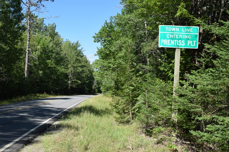
Entering Prentiss Township, Penobscot County on Routes 169/170 north of Springfield Village (2020)
[PREN-tiss] was a town in Penobscot County, incorporated on February 27, 1858 from the township T7 R3 NBPP and annexed land from Drew Plantation in 1869. As did many marginal small towns during the Great Depression, it deorganized in 1939, but was reorganized as a plantation in 1940.
Now deorganized again, Prentiss Township is in eastern Penobscot County, not to be confused with Prentiss Township T4 R4 NBKP in Somerset County.
Access is from U.S. Route 2 in Lincoln, East on Route 6 to Springfield, then North on combined routes 169/170. The two routes split, 170 to the left, 169 to the right. On Route 170 a surprisingly well kept Treadwell Cemetery appears in this small township of barely 200 residents.
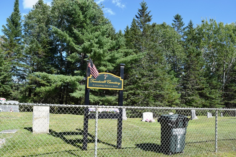
Treadwell Cemetery on Route 170 (2020)
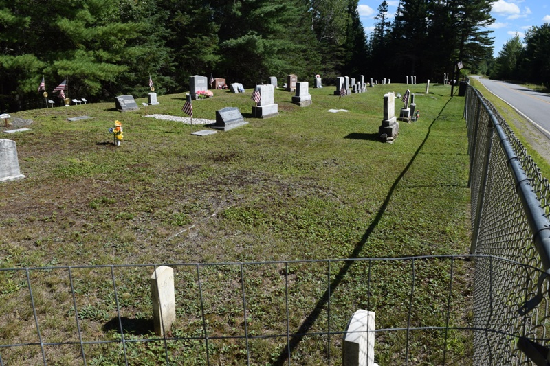
Treadwell Cemetery on Route 170 in Prentiss (2020)
Once known as Deerfield, it was named for Henry E. Prentiss of Paris, Maine who owned much of the township.
Trees were cut there in 1836 and settlers arrived the following year.
This sparsely populated area is remote from even moderately sized towns.
Maine Routes 169, 170, and 171 cut through the woods and bogs that characterize the area.
Prentiss Village is at the junction of routes 169 and 171 in the south-central area of the township.
The township’s population has been relatively stable in recent decades at around 200.
The Mattawamkeag River System Wildlife Management Area borders the northern and western lines of the township.
A drive off Route 70 on a road (possibly Tar Ridge Road) trending easterly reveals interesting sights. These photos sequence the short trip.(2020) [click to enlarge images]
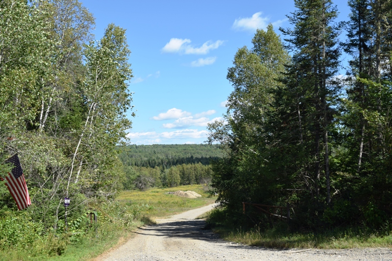
Road off Route 70
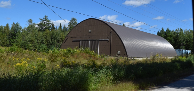
Unidentified Building
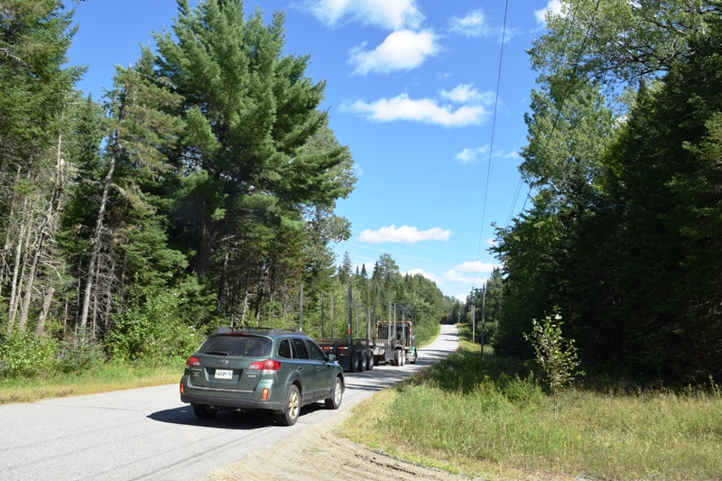
Big Rig Timber Hauler
Small House off the Road
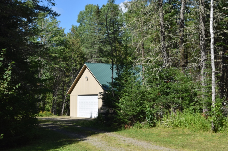
Garage for the Sheltered House
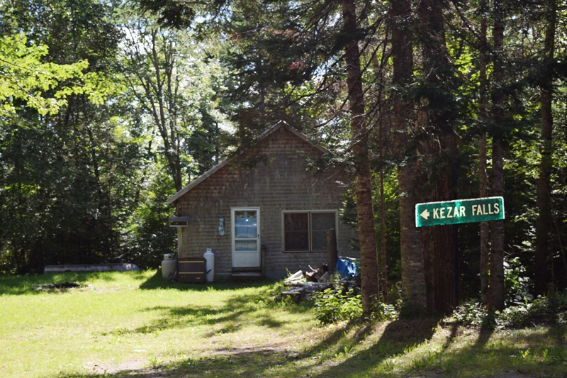
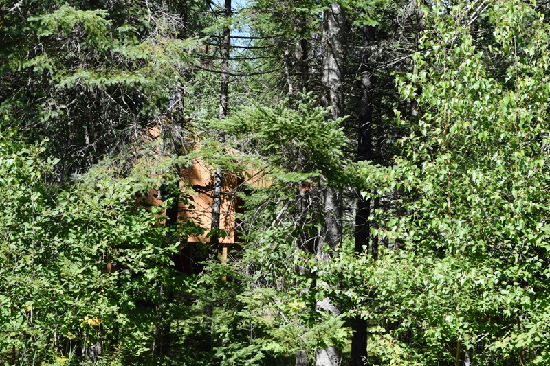
Vacation Camp?
Mud Pond Road
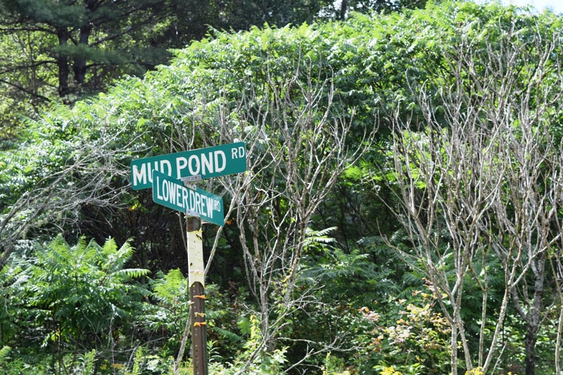
Mud Pond Road Begins
This dead end road off the northern part of Route 170 in Prentiss, does not actually go to Mud Pond, which is in Drew Plantation north of Prentiss.
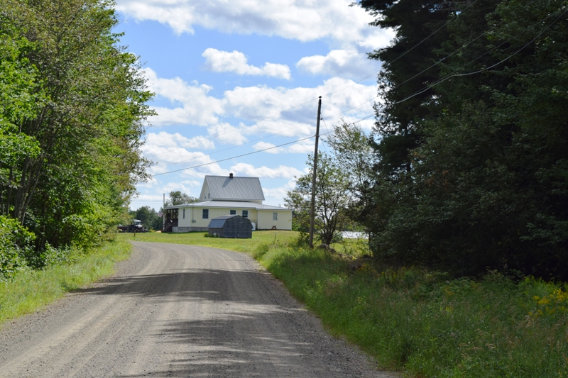
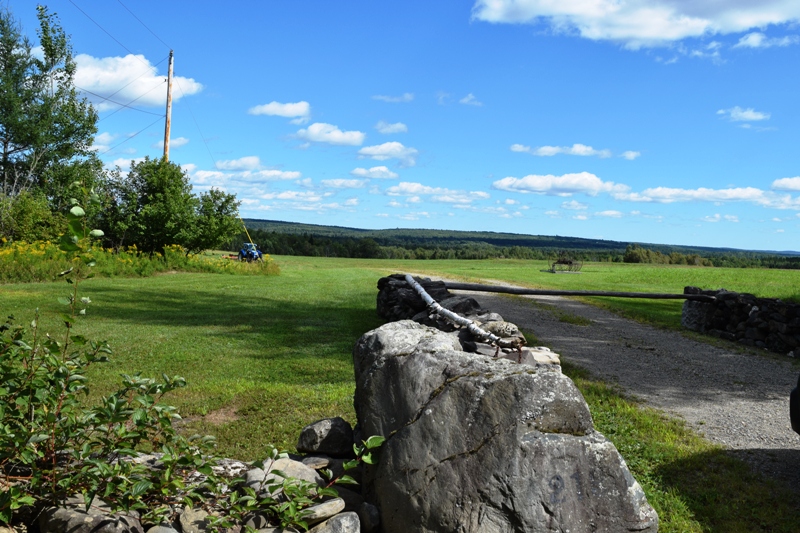
It does, however, have what amounts to an informal village in Prentiss. The “driveway” below leads to a house to the left behind a shield of trees as privacy from the road. The wind turbines, barely visible from Prentiss, are likely the Stetson Ridge Wind Project in T8 R3 NBPP Township in in Washington County. (2020) [click to enlarge images]
Entering the Road
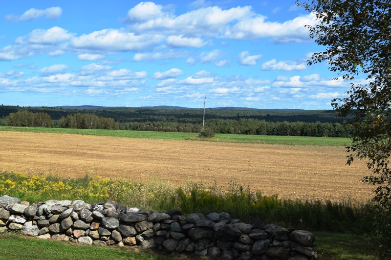
Field, Distant Wind Turbines
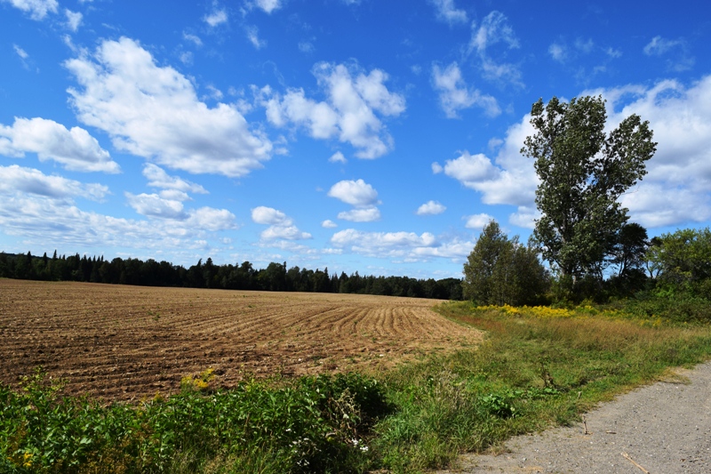
Harvested Cropland
Driveway to Hidden House
Additional resources
Chadbourne, Ava Harriet. Maine Place Names and The Peopling of its Towns.
Maine Landuse Regulation Commission. “LAND USE REGULATION COMMISSION GRID SCALE
WIND ENERGY DEVELOPMENT APPLICATION ;Stetson II Wind Project T8 R4 NBPP, Washington County, Maine.”