This “river” is one of those inlets from the sea that is not a true river.  It had been tidal as far inland a Bath until a dam was  constructed that created ponds above it.

At its northern most reach the Peterson Canal once linked Merrymeeting Bay with Casco Bay. Built around 1790 to connect Merrymeeting Bay with the New Meadows River, it bypassed the strong currents of the Chops in Merrymeeting and made downstream transportation of logs much easier.

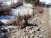
Valve Regulating Water to the Peterson Canal (2010)

Valve Regulating Water to the Peterson Canal (2010)

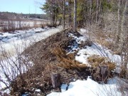
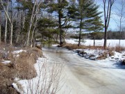
Peterson Canal East of the Ridge Road (2010)

Peterson Canal East of the Ridge Road (2010)

Peterson Canal East of the Ridge Road (2010)

Peterson Canal East of the Ridge Road (2010)

The pond or lake north of U.S. Route 1 in Bath offers year around fishing opportunities. Proposals to remove the dam have been met with resistance from fishermen and shore-side residents.

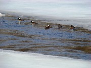
Hooded Merganser Ducks in a New Meadows River Pond in Bath (2010)

Hooded Mergansers in New Meadows River Pond (2010)

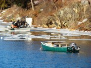
Quahog fishermen on the New Meadows River (2010)

Quahog Fishermen on the New Meadows River Pond (2010)

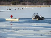
Quahog fisherman and ice fishing enthusiasts on the New Meadows River Pond (2010)

Quahog Fishermen, ice fishing, New Meadows River (2010)

Further south the New Meadows shares its banks with Brunswick and Harpswell on the west, and West Bath and Phippsburg on the east until it reaches Casco Bay.

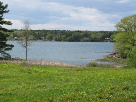
Houses in Brunswick on New Meadows River from Foster Point Road, West Bath (2010)

Houses in Brunswick on New Meadows River from Foster Point Road, West Bath (2010)

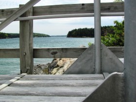
New Meadows River from the Point,South End of the Mountain Road in West Bath (2010)

New Meadows River from the Point,South End of the Mountain Road in West Bath (2010)

Leave a Reply

Your email address will not be published. Required fields are marked *

Post comment