")
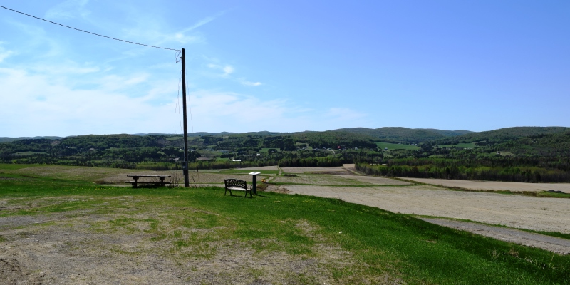
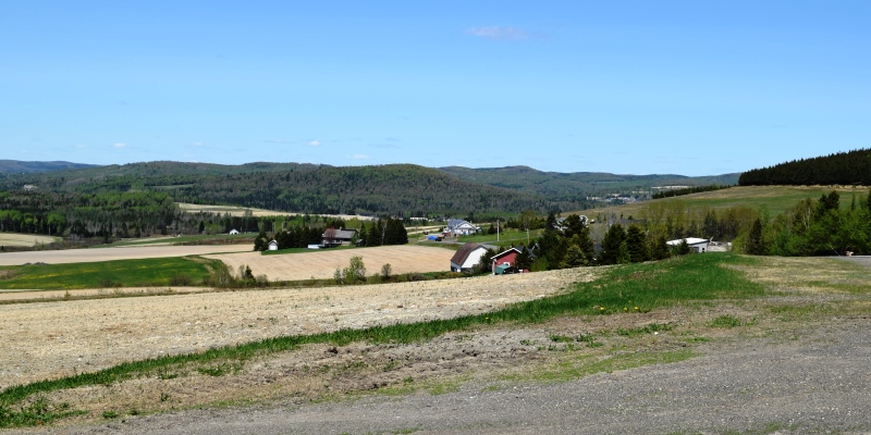
Power Lines, Cropland and a Barn in distance off the Caribou Road in New Canada (2018)

Location Map for New Canada
| Year | Population |
|---|---|
| 1970 | 300 |
| 1980 | 269 |
| 1990 | 253 |
| 2000 | 306 |
| 2010 | 321 |
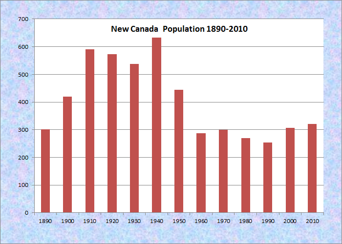
Population Trend 1890-2010
| Geographic Data | |
|---|---|
| N. Latitude | 47:06:06 |
| W. Longitude | 68:30:17 |
| Maine House | District 151 |
| Maine Senate | District 1 |
| Congress | District 2 |
| Area sq. mi. | (total) 36.4 |
| Area sq. mi. | (land) 35.8 |
| Population/sq.mi. | (land) 9.0 |
County: Aroostook
Total=land+water; Land=land only |
|
[NEW CAN-ah-dah] is a town in Aroostook County, organized as Hancock Plantation for election purposes on October 23, 1840 from township T17 R6 WELS .
On November 9, 1881 it was renamed as New Canada Plantation and organized for general purposes. Finally, it was incorporated as a town on March 26, 1976.
Daigle is the principal village in the town, which is located just south of Fort Kent on Maine Route 161 in the townships northeast corner near Daigle Pond. Boat launching facilities are available on the small chain of First Lake, Second Lake, and Third Lake in the southwest corner of the town. Two north-south roads in the west, Strip Road and New Canada Road, link Soldier Pond Village with Fort Kent.
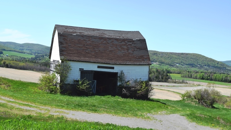
Barn on New Canada Road (2018)
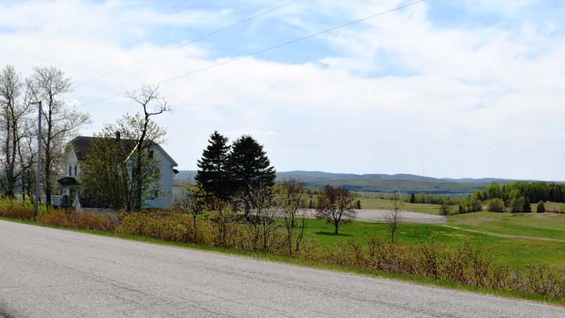
House on New Canada Road (2018)
A section of Maine’s Public Reserved Land, the New Canada lot, is a 1,000-acre original public lot located north of the Eagle Lake Unit. The parcel is almost entirely forested, with timber management being the primary management activity on the parcel.
According to the Northern Aroostook Region Management Plan,
There are 47 acres of forested wetlands and only 4 acres of open wetland. There is significant beaver activity on the parcel. A Northern White Cedar Swamp is located in the south-central portion of the property.
Since the mid 1980’s approximately 7,100 cords have been harvested from the property. Access to the lot is across private land. The interior road system was constructed for summer and winter timber management purposes. There are also 2.5-miles of ATV trail on the parcel managed by local clubs.
Wildlife management and timber management will be considered a dominant use. Specifically,
Manage the timber to minimize conflicts with motorized trail uses and to enhance the aesthetic values along these trails.
Consult with the Maine Natural Areas Program in harvest planning in the area around the Northern White Cedar Swamp.
Wallagrass from Strip Road (2018)
Fort Kent from Strip Road (2018)
Form of Government: Town Meeting-Select Board-Manager.
Additional resources
Maine Department of Conservation. Bureau of Parks and Lands. Northern Aroostook Region Management Plan. June, 2007. http://maine.gov/doc/parks/programs/planning/northern/plan.pdf (accessed January 30, 2012)
Baker, Nora Marquis. Nora Marquis Baker Collection, 1927-1968. (Cataloger Note: This collection consists of personal letters, photographs, cards, notebooks, and scrapbooks. Also included are maps of and documents about New Canada.)