Location: Mayfield Township
") Incorporated as a town in 1892, it deorganized in 1937. This township is just north of Brighton Plantation, with Mayfield Corner being the intersection of Routes 16 and 151 and the site of a village in the 19th century.
Incorporated as a town in 1892, it deorganized in 1937. This township is just north of Brighton Plantation, with Mayfield Corner being the intersection of Routes 16 and 151 and the site of a village in the 19th century.
It has private frontage on Otter Pond, Mayfield Pond and Kingsbury Pond.
According to a report prepared for the Department of Environmental Protection in an application to create a wind turbine project in 2013: [The Wind project apparently succeeded. See photo below right; click to enlarge.]
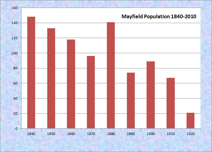
Population Trend 1840-1920
Mayfield is a small township situated along the eastern boundary of Somerset County. It is bounded south by Brighton, west by Bingham, and north by Bald Mountain. To the east, Mayfield abuts the town of Kingsbury in Piscataquis County.
The landscape of Mayfield is exceptionally hilly, with Coburn Ridge encompassing much of the western half of the township. Despite this, residents – who primarily inhabited the southeastern portion of town lands – were able to cultivate good grain crops. Many residents were occupied by the quarrying and preparation of slate for market.
 N45° 6' 49.00\" W69° 40' 9.40\"")
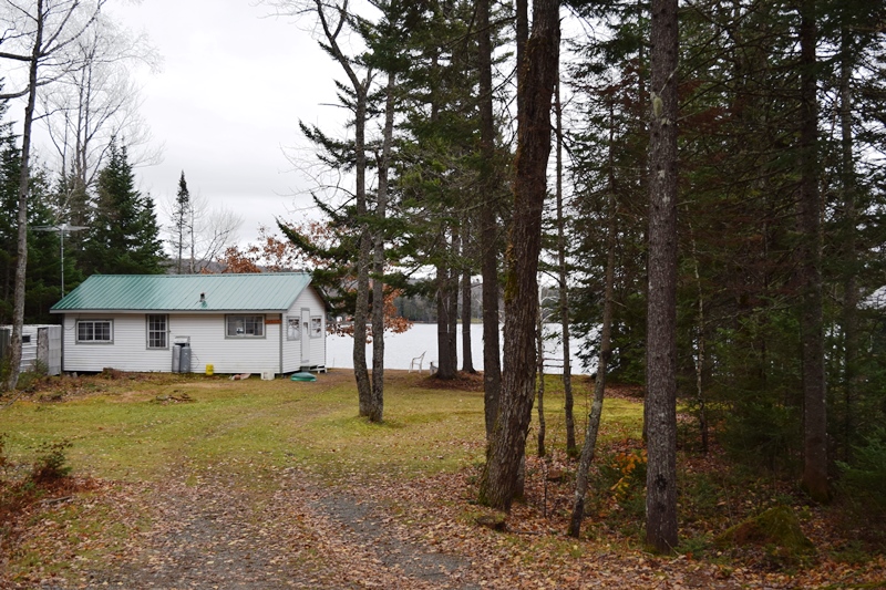
New Hayden Pond Road off Rt. 16 (2018) @
Like the neighboring municipalities, Mayfield Township was part of the original Bingham Purchase in 1785. The township was incorporated in 1836, having been settled sometime prior. It first appears on the 1840 United States Population Census with 148 recorded residents. This number steadily declined for the next three decades, then jumped back to 141 residents in 1880 before sharply declining once more.
A total of 21 residents of Mayfield Township were last recorded on the 1920 U.S. census. After this time, it appears that the township was abandoned by full-time residents, though the recreational camp sites and private camps still exist, especially along the banks of Mayfield and Kingsbury Ponds.
Much of Route 16 from Kingsbury through Mayfield provides access to Kingsbury Pond with short roads connecting cottages along the shore. Mayfield Pond (140 acres) is connected to Kingsbury Pond (390 acres)by a narrow channel. Fisheries in the combined water body are Landlocked salmon, splake, white perch, and chain pickerel. Both ponds are open to ice fishing.
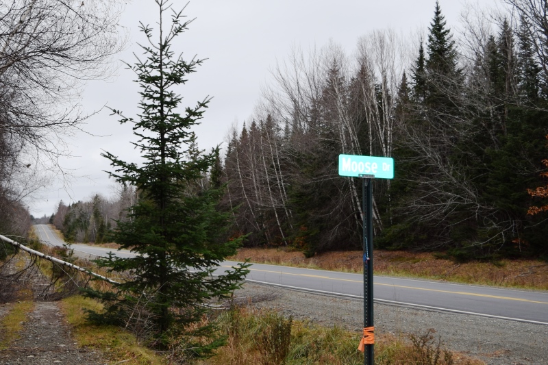
Moose Drive off Rt. 16 (2018)
Cottage on Moose Drive (2018)
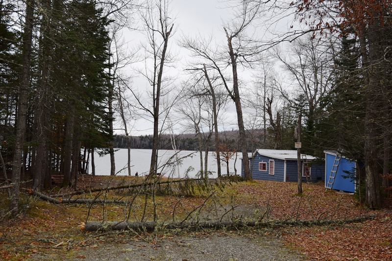
Cottage on Moose Drive (2018)
 N45° 6' 49.53\" W69° 39' 58.52\"")
Cottage Signs on Loon Lane off Route 16 (2018) @
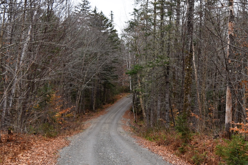
Loon Lane in Mayfield Township (2018)
House on Loon Lane on Kingsbury Pond (2018)
 N45° 6' 41.29\" W69° 40' 31.30\"")
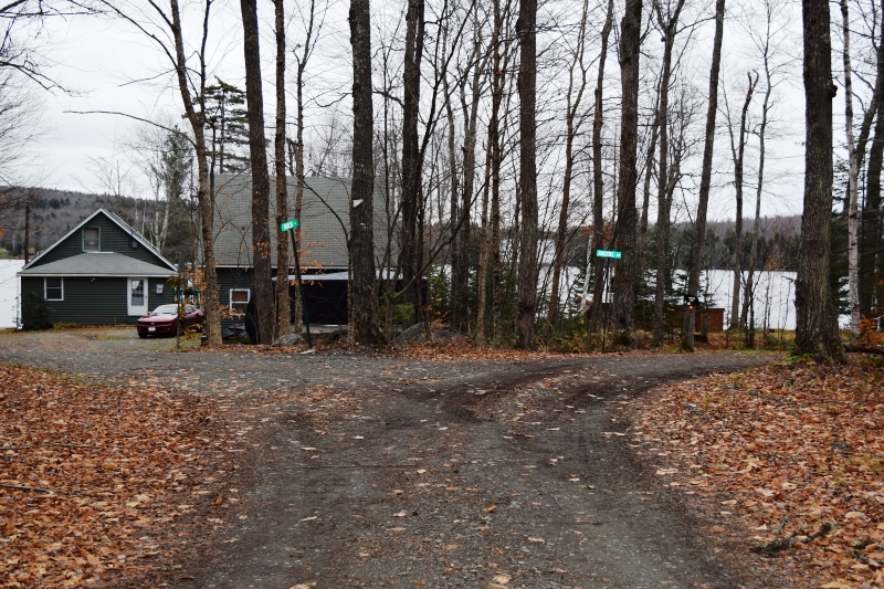
“Kingsbury Lodge, Outfitters . . .” at Wood Road off Route 16 in Mayfield Township @
Point Road off Route 16 is a private road with no public access. Please respect the owners privacy and do not drive down the road unless Invited. Otter Pond Road off the Athens Road. Several other ponds are scattered in the central and north sections, including Palmer Pond, Little Palmer Pond and Baker Flowage.
The small Flanders Cemetery, named for a family not the famous European field, lies north of Route 16 in a secluded grove.
")
Sign to Cemetery (2014)
")
Flanders-Collins Stones (’14)
")
Old Portion (2014)
As the Gazetteer of Maine noted in 1886,
The principal settlement is at the south-east part of the town, on the road from Skowhegan to Blanchard. The soil is quite fertile, yielding good crops of grain. Cedar and spruce are the most numerous woods. There are two lumber-mills in the town, and one mill for preparing slate, of which considerable quantities are quarried here.
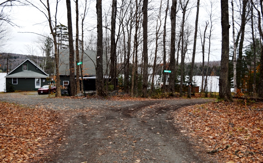
Mayfield Corner is at “the south-east part of the town” and “the road from Skowhegan to Blanchard” are the modern routes 151 and 16 that meet at that corner. The “principal settlement” is no more. The “Corner” in 2014:
")
")
")
Additional resources
Will, Richard. “Phase 0 Precontact Period Archaeological Assessment: Bingham Wind Project: Bingham and Mayfield (Somerset County), Kingsbury, Parkman, and Abbot (Piscataquis County), Maine.” Submitted to Maine. Department of Environmental Protection. http://www.maine.gov/dep/ftp/WindPowerProjectFiles/BinghamWind/application/8_Arch_Historic.pdf (accessed November, 15, 2014)
Varney, George J. A Gazetteer of the State of Maine. 1886. p. 358.