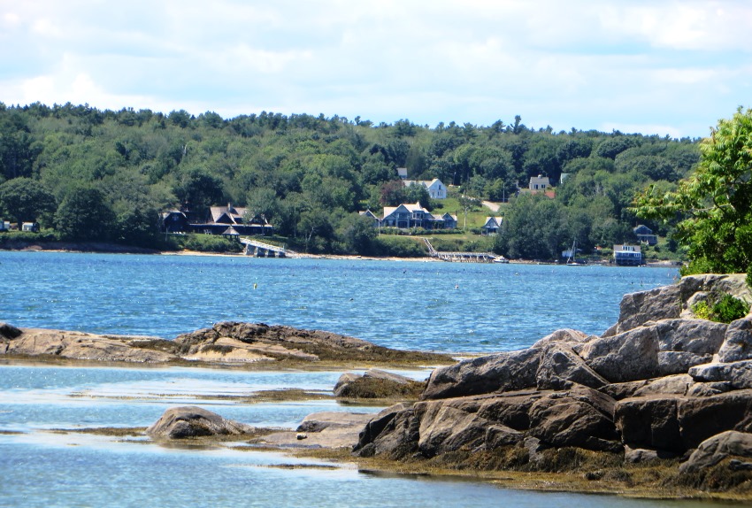
 Chebeague Island from Bangs Island (2015)

Location Map of Chebeague Island county: Cumberland
")
The Chebeague Island Inn (2006)
")
Houses in the North End (2006)
")
“Hamilton Villa” in the North End (2006)
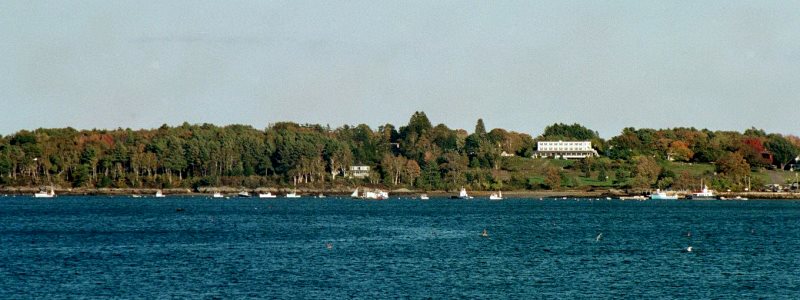
Cousins Island from Chebeague Island (2002)
")
“Welcome to Chebeague Island” sign at the Ferry Terminal in Cumberland (2002)
[shuh-BEEG-iland] is a town in Cumberland County, incorporated on July 1, 2007 after separating from the mainland town of Cumberland. In doing so, it joined its neighbor Long Island as another new town in Casco Bay. The 2000 census recorded the population at 356; in 2010 it was 341.
The town consists of several islands: Great Chebeague (the largest in Casco Bay at over 2800 acres; nearby Little Chebeague; and the smaller islands of Bangs, Bates, Hope, Ministerial, Sand, Stave, Stockman, and the tiny Upper Green Islands.
The new district apportionment, effective with the 2014 elections, placed Chebeague in the 47th state representative district; the 25th state senate district; and the 1st congressional district.
The Jordan family deeded half the island in 1680 to Walter Gendall calling it “Jabeque or Gaboag.” Since at low tide Little and Great Chebeague islands are joined, the name may come from the Indian word for “separated” or “almost through.”
")
Aerial View of Chebeague Island (1992)
Five miles from the mainland, Great Chebeague Island was settled in the 1760’s, became a center for granite transportation with its “stone sloops” in the late 1800’s, and now is a haven for summer residents and a growing permanent population.
It is hard to beat this lyrical description of the island by Dorothy Simpson:
Like a miniature Roman wall wandering over the faces of Scotland, the stone wall that marked the three-mile width of Great Chebeague in the days when the island belonged to two men can still be traced from the outer shore, in and out of woods where it is sometimes briefly lost, and thence to the inner bay and the faint hollow that is the cellar hole of the first house on the island.
The Village, with its library, historical society, inn and golf course, lies near the CTC terminal at the northwest end of the island.
Regular ferry service by the Chebeague Transportation Company (CTC) from Cousins Island in Yarmouth links islanders, summer and winter, to work, schools and shopping on the mainland. Casco Bay Lines provide summer ferry service landing in Chandlers Cove at the southern end of the island.
")
Ferry “Islander” Approaching Cousins Island (2006)
")
Mainland Ferry Terminal in Yarmouth (2006)
")
The “Islander” Ferry at Cousins Island (2002)
A virtual Coastal Island Tour; click the boat for the first leg.
 Downeast may take a few secs
Chebeague Island East Shore from Bangs Island (2015)
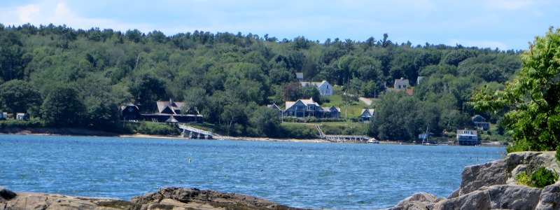
Great Chebeague West Shore from Cousins Island (2002)
Additional resources
Caldwell, Bill. Islands of Maine.
Faubert, Emil F., ed. Cracker Barrel Tales from Chebeague Island, Maine. 1980.
Hauk, Zarah William. The Stone Sloops of Chebeague and the Men Who Sailed Them; also some Chebeague miscellany. Boston. Alden-Hauk Inc. 1953.
Maine Department of Marine Resources. Coastal Photo Holdings (1992). A5085-28 2-5; A5085-29 2, 4-7; at http://www.maine.gov/dmr/aerialphotos/preview/zone2/zone2.html (accessed 2/19/08)
Maine. State Highway Commission. Great Chebeague Island Bridge Study. Prepared by Maine State Highway Commission in cooperation with U. S. Bureau of Public Roads. Augusta, Me.The Commission. 1958.
Simpson, Dorothy. The Maine Islands in Story and Legend.
National Register of Historic Places – Listings
Photos, and edited text are from nominations to the National Register of Historic Places researched by Maine. Historic Preservation Commission.
Full text and photos are at https://npgallery.nps.gov/nrhp
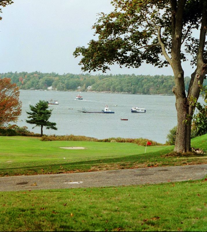
Great Chebeague Golf Club, 1920-1964
The 28.68 acre Great Chebeague Golf Club Historic District on the west side of Chebeague Island is a links-like course which was first laid out by George P. Spalding and Bertrand R.T. Collins, summer residents of the island, in 1920. Originally designed out as a six-hole course, the course was expanded to nine holes by 1923. The formation and evolution of the Club was fueled by summer residents who had begun to season on the islands of Casco Bay at the end of the 19th century. Over time it became an important recreational outlet for the summer residents of the Island and the surrounding islands of Casco Bay. The resources within the historic district include the golf course and club house, as well as an early cemetery and several bridges and utility buildings that date to the late 20th century. The historic period begins when the course was first laid out in 1920 and ends in1964.