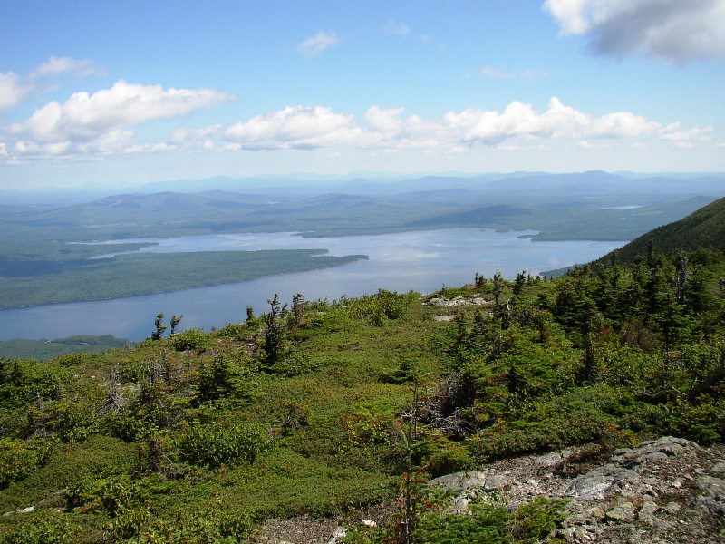
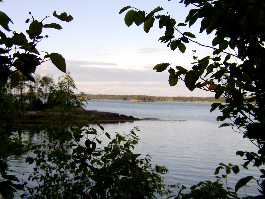
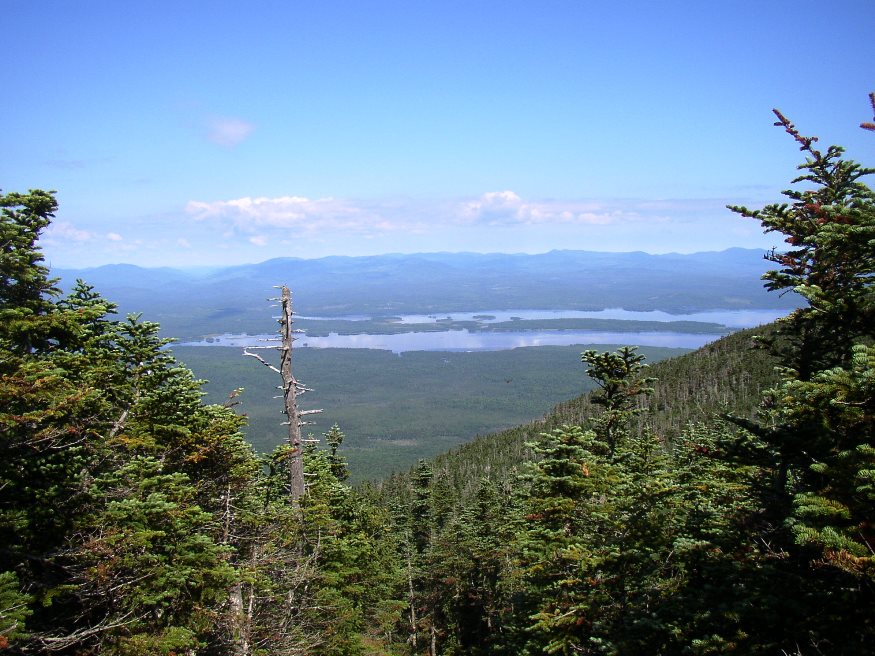
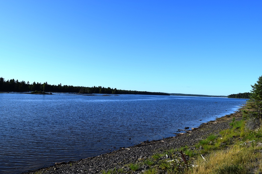
Bradstreet Township

Bradstreet Township (right) from Hardscrabble Road in Parlin Pond Township (2016)

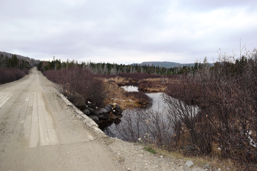
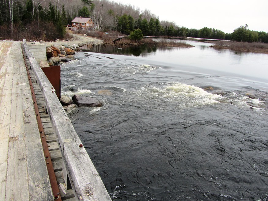
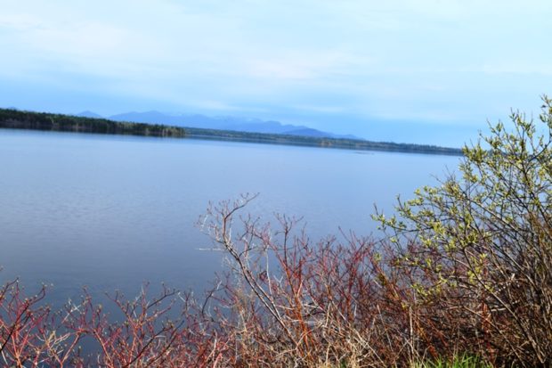
Attean Falls on the Moose River and the nearby Attean Falls Campground are probably the biggest features that draw visitors to the township. For those taking the Moose River Bow Canoe Trip, this is the last campsite before entering Attean Pond. The Falls are basically a challenging group of rapids, usually successfully navigated by canoeists. …

Brassua Township

West of Moosehead Lake and north of Rockwood Strip, this township has several miles of frontage on the northwestern shore of Brassua Lake.  The only improved road is the north-south Demo Road between Rockwood Strip and Soldiertown Township (T2 R3 NBKP). The township has miles of unimproved roads, apparently to support the logging industry. NBKP…

Brookton Township

Panoramic View from U.S. 1 in Brookton (2013)

    Panoramic View  of wind turbines from U.S.  Route 1 in Brookton (2013)   Brookton is an unorganized township just south of Danforth on U.S. Route 1, one of its only two improved roads. The other, Forest City Road in the southeastern corner, passes by Brook Lake, half of which is in Brookton. A…

Centerville

Location Map For Centerville

now an unorganized township, was a town in Aroostook County. In 1886 it had a rail freight connection, now a recreational trail, with Machias. The economy was based on two shingle mills, potatoes and hay. 1870 population stood at 145; by 1880 it had plunged to 32, from which level it never recovered. The town deorganized in 2004.

Chesuncook

    [chu-SUN-cook] is an unorganized township (T5 R13 WELS) in Piscataquis County. The name means “at the place of the principal outlet,” according to McCauley. Chesuncook Lake extends south to T3 R12 WELS. Ripogenus Dam, constructed 1916-1920 “at the place of the principal outlet,” vastly expanded the lake and provided water storage for log…

Coburn Gore

Approaching U.S. Inspection Station (2017)

This is a small unorganized township in Franklin County on the border with Canada. It has a very small village with few houses and one store. Logging trucks abound, both in the village and those traveling through from Canada, many with lumber. Without mountains, it does have three water bodies: Arnold Pond, Crosby Pond, and…

Concord

Lily Pond in Concord on the Kennebec River Road (2014)

is now an unorganized township in Somerset County after having been a town for over 100 years. Incorporated on January 25, 1821 from Plantation Number One, R1, BKP., WKR., it surrendered its organized status on July 6, 1935, and thus became deorganized. The Great Depression of the 1930’s forced many marginal towns, unable to raise…

Connor

Jemtland Road in Connor (2003)

an unorganized township in Aroostook County, was once a town. The impact of the Great Depression and World War II forced its deorganization in 1945. A section of the Aroostook National Wildlife Refuge is in the township. See photo.

Cross Lake Township

Cross Lake with Cottages (2018)

Cross Lake Township, In Aroostook County is, not surprisingly, named for the long lake in its southwestern quarter. Maine Route 161 from Madawaska to Fort Kent slices diagonally across the township. Route 162 branches northeast along Long Lake to St. Agatha. Ouelette and Guerette are the two principal villages. The township is largely a rural…

E Township

Location Map for E Township

once a plantation in Aroostook County organized in 1898, nearly 100 years later, on July 1, 1990, it surrendered its organization to again become an unorganized territory. It is located just southwest of Mars Hill and directly west of Blaine. Access is on the E Plantation Road, which is the only improved road in E Township.

Eagle Lake Township

Not to be confused with the town of Eagle Lake  in Aroostook County, Eagle Lake Township lies to the southwest in Piscataquis County. It too has frontage on another waterbody named Eagle Lake and includes part of the Allagash Wilderness Waterway and a small portion of Chamberlain Lake. A narrow stretch of Maine Public Reserved…

EBEEMEE Township

Pleasant River East Branch, outlet of Lower EBEEMEE Pond in EBEEMEE Township (2014)

Just north of Brownville on Route 11, this township contains the East Branch of the Pleasant River which feeds the connected West Pond, Pearl Pond and Ebeemee Lake. Small year-round and seasonal cottages are located on the access roads and on the shorelines.                        …

Edmunds Township

Cobscook Bay from the State Park in Edmunds Township (2004)

Edmunds was incorporated as a town on February 7, 1828, and annexed some land from adjoining Trescott in 1899. However, during the depths of the Great Depression, it surrendered its organized status after over 100 years as a town. As did several Maine towns during the Depression, it became a township on November 27, 1937.…

Elliottsville Township

Little Wilson Stream

Incorporated as a town, February 19, 1835,its incorporation was repealed May 26, 1858. Later reorganized as a plantation, January 3, 1887, it was deorganized March 31, 1983. Elliottsville is home to more than a dozen small ponds and the three-mile long Lake Onawa. The lake and southern portion of the township is accessible on the…

Flagstaff Township

rtion of Flagstaff Lake in Flagstaff Plantation from Bigelow Mountain (2003)

[FLAG-staff] plantation was formally organized on March 5, 1895, though it had been organized for election purposes in 1851, 1865 and 1870. Flagstaff and nearby Dead River Plantation were inundated with water from the Central Maine Power Company’s Long Falls Dam on the Dead River in 1949, after a planned and complete relocation of its…