Stow

Cold River in Stow (2014)

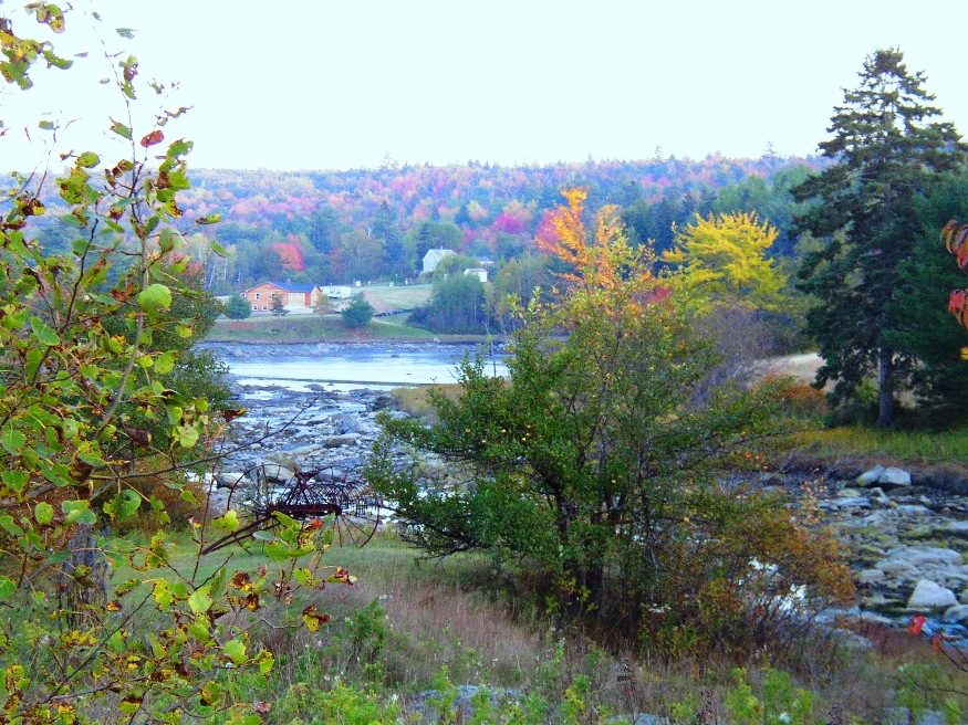
Stow borders New Hampshire, which may be reached by Maine Route 113 north from Fryeburg. It was once the home of the Pequawket Indians, who traveled the Pequawket Trail to Biddeford Pool during the summers to fish and gather shellfish. The Cold River enters the state in Stow and flows south through most of this narrow north-south shaped town.

Stratton

Stratton is a village in the town of Eustis. It is the main village with a small commercial area and civic facilities, including the town office, fire department, library, and post office. The Oramendal Blanchard House, home to the local sawmill owner in the late 19th century, is on the National Register of Historic Places.

Strong

Canoe on the Shore of the Sandy River in Strong (2013)

The main village is located about eleven miles north of Farmington on a big bend in the Sandy River at the junction of Maine Routes 4, 145, 149 and 234. Maine’s Republican Party was founded here on August 7, 1854 by a coalition of anti-slavery Democrats, other Democrats, and Whigs.

Stroudwater

Cumberland and Oxford Canal with Maine Historic Civil Engineering Landmark recognition

Stroudwater, a neighborhood in the City of Portland, lies west of the railroad tracks to the Westbrook border. Several locations of historical significance include the Tate House Museum, a portion of the Cumberland & Oxford Canal, and an old dam on the Stroudwater River. It is a highly developed residential and commercial area.

Sullivan

Sullivan Harbor (2004)

Once a center of granite production, this summer resort community on U.S. Route 1 and Maine Route 200 overlooks Frenchman’s Bay at Sullivan Harbor. The nature preserve at Donnell Pond, Black Mountain, and Tunk Lake in Sullivan is owned and managed by the Maine Bureau of Public Lands.

Sumner

Increase Robinson Library (2013)

East-west Maine Route 219 serves Pleasant Pond and the villages of West Sumner and East Sumner on its way from West Paris to North Turner. See photos. After booming for decades, the town was crippled by the Great Depression and eventually by the loss of the railroad in 1952. From Buckfield to Turner, the river is a corridor for canoe trips.

Surry

Patten Bay near Union River Bay from Route 172 in Surry (2003)

Surry is just southwest of Ellsworth on Maine Route 172 where it crosses Route 176. Once an active fishing, farming and lumbering community, it is now primarily residential with modest tourism and fishing supplementing the local economy. The town’s Newbury Neck extends over six miles from the mainland, a virtual island surrounded by Morgan Bay and Union River Bay.

Sweden

Webber Pond on the Webber Pond Road in Sweden (2014)

Year Population 1970 110 1980 163 1990 222 2000 324 2010 391 Geographic Data N. Latitude 44:07:24 W. Longitude 70:48:59 Maine House District 71 Maine Senate District 18 Congress District 2 Area sq. mi. (total) 29.7 Area sq. mi. (land) 28.8 Population/sq.mi. (land) 13.6 County: Oxford Total=land+water; Land=land only [SWEE-dehn] is a town in Oxford…

Talmadge

Talmadge Village (2013)

Talmadge, and Waite on its eastern boundary, are small towns that have functioned often as a single community. The Waite post office serves Talmadge; the “dump” and cemetery in Talmadge served both towns. U.S. Route 1 passes by in the town of Waite to the east, crossing only a small section of Talmadge in the northeast.

Temple

At the western terminus of Maine Route 43, Temple, with its cluster of small mountains and small ponds, lies just northwest of Farmington. Settled in 1796, it was the site of an early and strong community of Quakers. In the 19th century, though largely a farming community, it was home to three sawmills, an excelsior and stave mill, a grist mill, and a carriage factory.

Tenants Harbor

Sign: Welcome to Tenants Harbor (2005)

is a village in the Town of St. George in Knox County, incorporated on February 7, 1803 from a portion of Cushing. In 1865 it ceded some land to South Thomaston. Maine Route 131 from Thomaston runs along the eastern portion of St. George and passes through Tenants Harbor village, about halfway to the tip…

Thomaston

Just southwest of Rockland, the community lies at the point where the St. George River broadens into a long narrow bay. Ship building and shipping were the basis of its fortune and that of the two millionaires (of seven in the whole country) who lived there in 1840. Thomaston has many surviving fine homes, developed by financially successful residents, on its main street.

Thorndike

Settled in 1772, the town lies southeast of Unity on Maine Route 139. See photos. While once a farming community, as most Maine towns, Thorndike counted the railroad as a major element in its economy. The remains of that era are obvious in the village. The Belfast and Moosehead Lake Railroad was the latest to use the line.

Topsfield

Location Map for Topsfield

The village is at the intersection of north-south U.S. Route 1 and east-west Maine Route 6. Logging and hunting are major activities in this rural community. Topsfield has substantial resources in the long shoreline of Baskahegan Lake and the two smaller lakes: East Musquash and Farrow.

Topsham

Recently the downtown (see photos) has witnessed a renewal with modern buildings. Topsham has been a very rapidly growing community both in population and in commercial development.The area of the Topsham Fair Mall is located adjacent to Interstate 95. Pejepscot Village was once an active community when the Pejepscot Paper Mill was in full production. Falls in the Androscoggin River between Topsham and Brunswick encouraged the development of paper and textile mills which dominated the economy into the 20th century.