Searsmont

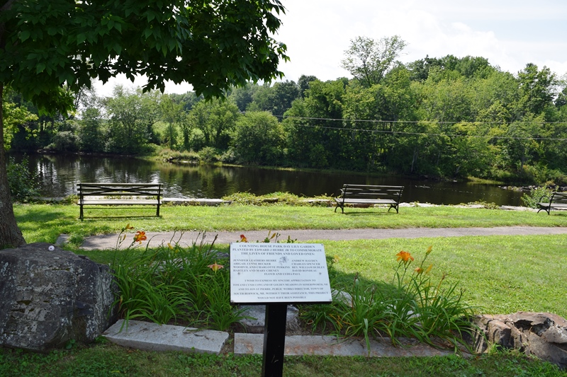
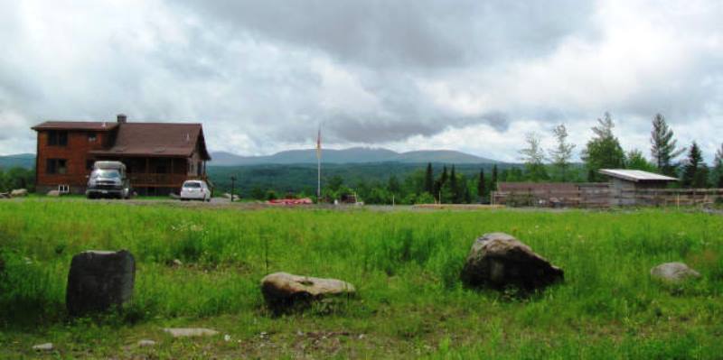
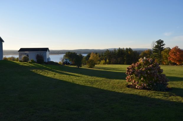
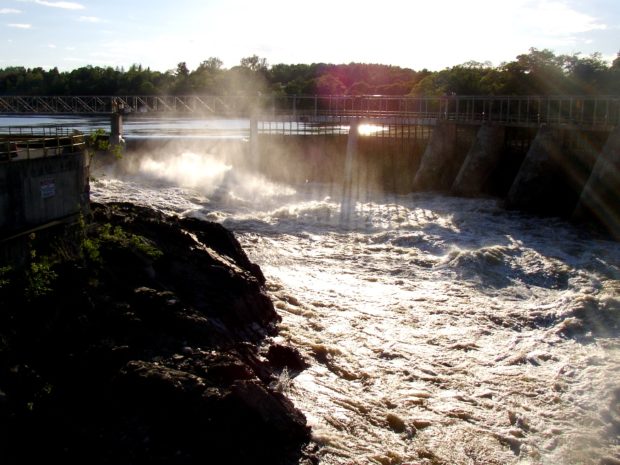
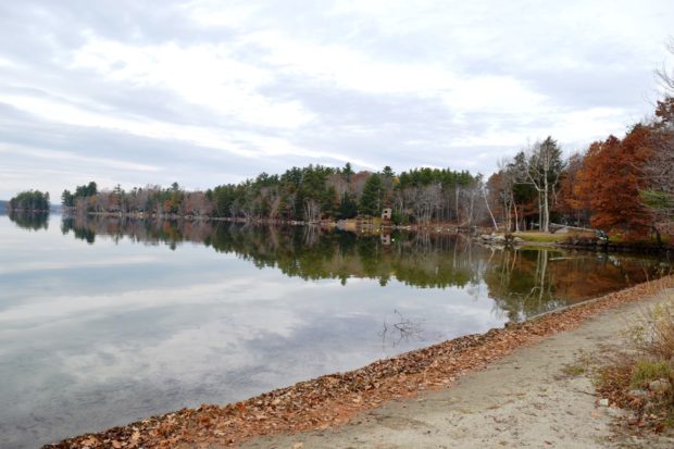
The main village is located on the St. George River and is adjacent to Quantabacook Lake. See photos. The town is served by Maine Routes 3, 131 and 173 and lies about ten miles southwest of Belfast. In 1925 the first international radio broadcast was relayed from Belfast through Searsmont and on to New York City.
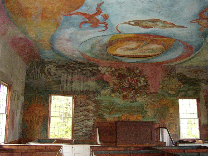
Searsport

Albert V. Nickels House, now A. V. Nickels Inn, on south side of East Main Street, U.S. Route 1, in Searsport (2015)

The town has two areas with industrial potential on Penobscot Bay. See photos. In addition to substantial resources of the Penobscot Marine Museum, Searsport has recreational opportunities at Moose Point State Park on Penobscot Bay, and frontage on Swan Lake inland at the northwest corner of the town.

Sebago

Panoramic View from Dyke Mountain Road in Sebago (2018)

Several villages dot the towns landscape: North, East, and West Sebago; and Sebago Center; among others. See photos. The village of East Sebago hosts the town’s elementary school, veterans memorial park, and public library. Along with its substantial shoreline on the Lake, the town has a hiking trail to the summit of the 1392 foot Douglas Mountain, with a nature preserve overlooking the Lake.

Sebec

Several small ponds dot the landscape, including the 28-acre Garland Pond. Located between Dover-Foxcroft to the west and Milo to the east, the town is connected to both by Maine combined Route 6 and 16, and by the Piscataquis River.

Seboeis

Location Map for Seboeis

The small Seboeis village is nearly at the end of the Seboeis Road, which leads north in Howland from the North Howland Road. The village is less than a mile from the shore of South Branch Lake, where there is a boat launch. Seboeis Public Reserved Land of 15,628 acres provides opportunities for boating, camping, fishing, hunting, snowmobiling, and watching wildlife.

Sedgwick

The Deer Isle Bridge over Eggemoggin Reach between Sedgwick and Deer Isle (2003)

Eggemoggin Reach is a long stretch of water between the mainland and Deer Isle and Little Deer Isle. See photos. The Benjamin River provided tidal power to a grist mill near Sedgwick village. In addition the town had another grist mill, some saw mills, and two silver mining companies. Shipbuilding was yet another industry. Other villages are North Sedgwick, Sargentville, Black Corner, and Grays Corner.

Shirley

House with Mountain View on the Lower Shirley Corner Road in Shirley (2011)

Located just south of Greenville on Maine combined Routes 6 and 15, its main village, Shirley Mills (see photos), grew up around early 19th century clapboard and saw mills, using water from the Piscataquis River. Along the east side of the pond, the B&A Railroad North Road runs north along the river. It was created from the old rail bed.

Sidney

Bounded by the Kennebec on the east and Messalonskee Lake (the modern name for Snow’s Pond) on much of the west, Sidney is located between Augusta and Waterville. See photos. Sidney Bog is located in the southeastern corner of the town.

Skowhegan

Recorded as Skwahegan in early reports, the name means “watching place for fish,” drawn from the falls in the Kennebec River that harbored salmon. See photos. Local Indians speared them as they attempted to scale the falls. Textile and shoe manufacturing were major employment options for local residents during the late 19th and early 20th centuries. Once home to Camp Modin, a camp for Jewish boys and girls until 1992, Lake George Regional Park is split between Skowhegan and Canaan.

Smithfield

A summer recreational center, it hosts the bulk of two of the Belgrade Lakes: North Pond and East Pond. East Pond is home to several summer camps for young people, some that cater to adults, and some that are individually owned summer cottages. See photos. The main village is on the eastern shore of North Pond, where a sandy beach attracts area residents and summer visitors.

Smyrna

Farm Buildings in Smyrna (2003)

Named for a famous city in ancient Turkey, the town is west of Houlton on Interstate 95 and on U.S. Route 2, where the village of Smyrna Mills straddles the town line with Merrill. See photos. The town has become home to a substantial number of Amish people, who farm and work using simple, low technology methods. The Mattawamkeag River flows through the village. In the river is the ruins of an old dam and mill.

Solon

Interior of South Solon Meeting House, 121 South Main Street in Solon (2003)

Solon, Maine is a town in Somerset County, incorporated on February 23, 1809 from the township T1 R2 EKR. Settled in 1782 by William Hilton of Wiscasset, it was named for one of the great sages of Ancient Greece, in keeping with its neighboring town of Athens.

Somerville

School and Town Office (2003)

The Sheepscot River runs through the western portion of the town, and through Somerville Village itself. It widens into Long Pond (once known as Patricktown Pond), on which the town has substantial frontage. See photos. Somerville is east of Windsor on Maine Route 105, and north of Jefferson following Maine Route 206 to 105. This rural town has had a small, but growing population. Since the 1970’s it has grown to two and a half times its size then.

Sorrento

Sorrento Harbor (2004)

Sorrento sits on Waukeag Neck, on Maine Route 185 south of Sullivan. See photos. The neck juts into Frenchman’s Bay with spectacular views of the mountains in Acadia National Park. Sorrento Harbor is a centerpiece of the community, especially when the “summer people” return and the water fills with pleasure boats. The town hosts two nature preserves in Sorrento Harbor, both maintained by the Nature Conservancy: Dram Island, is home to nesting osprey; Preble Island is densely forested with eagles roosting.

South Berwick

Counting House Day Lily Memorial Park at the Salmon Falls River (2018)

Maine’s oldest educational institution, Berwick Academy, was established here in 1791 when the town was part of Berwick. See photos. South Berwick is the birthplace of Sarah Orne Jewett, who attended Berwick Academy for four years — her only formal education. The town is accessible to the coastal communities of York and Kittery via Maine Routes 91 and 236.

South Bristol

Boats and Osier

The Darling Marine Center of the University of Maine is located in the village of Walpole. See photos. The population centers in the town’s southern most reaches are on Rutherford Island, perched at the end of a peninsular. The community is home to three nature preserves. Plummer Point is a 74 acre wooded peninsula with over a mile of shoreline. The Tracy Property is a town park with public access to the Damariscotta River. The wooded 18-acre Witch Island Sanctuary, provides two beaches and views of Johns Bay.

South Freeport

South Freeport is on the broad Harraseeket River leading to Casco Bay. Once a shipbuilding center, it now hosts the town’s public wharf, a marina, a boatyard, and the Harraseeket Yacht Club. Winslow Park on the Bay provides recreation and camping opportunities.