Peru

Apparent Horse Cemetery on the Ridge Road (2013)

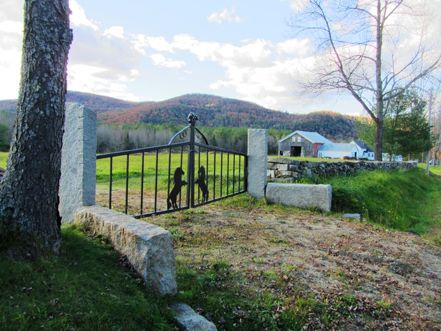
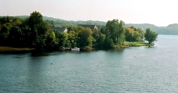
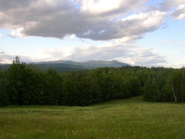
The town is on the south bank of the Androscoggin River just below the Rumford-Mexico-Dixfield area. Its main village is West Peru, across the river from Mexico in the northern portion of the town. See photos. Further south on the Ridge and Valley roads, the rolling rural landscape reveals mountain views, farms and forests. A campground and bed & breakfast may be found at the three-mile long Worthley Pond.

Phillips

Mountain View from Route 4 in Phillips

The Sandy River-Rangeley Lakes Railroad, which transported people and forest products to and from the north woods, was once headquartered in the town. See photos. As the Sandy River passes through the village, the river bed appears as frozen sand, almost bone-like in its strange shapes. A canoe trip from here to Farmington begins well below the bridge. Outdoors woman, columnist, and promoter of outdoor sports in Maine, Cornelia “Fly Rod” Crosby was born here.

Phippsburg

Dunes at Popham Beach in Phippsburg (2006)

Even before it was incorporated, the community had its church (see photos), which was organized in 1765 and built in 1802. The tip of Phippsburg at the mouth of the Kennebec River is the site of the first English attempt at settling New England: the Popham Colony of 1607-1608. Fort Popham and Fort Baldwin, rise as a guardians of land upriver. Coxes Head, which juts out into the Kennebec River.

Pittsfield

Pittsfield 1889 "Bird

Maine Central Institute, founded in 1866 as a preparatory school for Bates College, is one of the “Big 10” private secondary schools in Maine that still serves the public school population as well. See photos. Downtown Pittsfield, on the Sebasticook River, was wiped out by a fire in 1881 and rebuilt immediately. As did many Maine communities, Pittsfield’s woolen mills provided steady employment during the first half of the 20th century, then literally “went South,” finding cheaper labor in the 1950’s.

Pittston

Historical Marker: Headquarters of Benedict Arnold Expedition September 21-23, 1775 (2013)

The Reuben Colburn House in Pittston, Maine is the site of one of the original settlements in Maine. Built in 1765, it was one of the first on the east side of the Kennebec River in an area later known locally as Colburntown. See photos. The house and carriage house is now owned by the Arnold Expedition Society. The village of East Pittston is located on the Eastern River near the town line with Whitefield. Route 194 serves the village and the Pittston Fair Grounds nearby.

Plantations

Plantation form of government was at first indistinguishable from that of a town. As Massachusetts gradually gained more Jurisdiction in the Province of Maine, the General Court would occasionally place a tax on a new tract and the inhabitants then met and elected plantation officers for the collection of that tax. After Maine became a…

Pleasant Ridge

Wyman Lake and Dam from the Ridge Road in Pleasant Ridge (2014)

Pleasant Ridge hosts four small ponds, clustered in its northern half: Bean, Brandy, Clear, and Jewett. Lost Pond is isolated in the northeast of the township. Jewett stream runs south through Jewett, Brandy and Clear ponds before emptying into the Kennebec River. The “ridge” overlooks the community’s eastern boundary, which is Wyman Lake formed by the Wyman Dam and the Kennebec River.

Plymouth

Just south of Newport off Interstate 95, this rural community is dotted with wetlands, the largest of which is Plymouth Bog. Martin Stream runs from Plymouth Pond to empty into Sebasticook Lake in Newport after joining East Brook. The main village is on the northwestern shore of Plymouth Pond at the junctions of Maine Routes 7 and 69. Its population has remained remarkably stable over 40 years.

Poland

The Spring House at Poland Spring (2003)

The Poland Spring Bottling Plant and Spring House are local landmarks. See photos. The town, just west of Auburn, has two other large lakefront areas and is served by Maine Routes 11, 26, and 122. One of water bodies is home to Range Pond State Park. The town, just west of Auburn, has two other large lakefront areas. One of water bodies is home to Range Pond State Park. The Maine State Building was built to represent the state at the Chicago World’s Fair, known as the Colombian Exposition, in 1893.

Port Clyde

Port Clyde (2005)

Port Clyde is a village in St. George at the southern tip of its long peninsular. Port Clyde has long been an attraction to artists, including N. C. Wyeth, and tourists, who can take the ferry to Monhegan Island, visible in the distance. It is a base for lobster fishing and fin fishing. The village…

Portage Lake

Late Summer Sunset over Portage Lake (2003)

in Aroostook County, settled in 1844, incorporated 1909, the village lies at the southeastern end of Portage Lake, about twelve miles northwest of Ashland. See photos. In 1967 a small community of Tibetan refugees was established, but dissolved in 1970 when their work project terminated. They scattered to other states.

Porter

Ossipee River in Porter from Routes 25 and 160 (2014)

The main village, Kezar Falls, shares its name with the other half of the community located across the Ossipee River in Parsonsfield, York County. Built in 1876, the two-span 152-foot covered bridge above crosses the Ossipee River. The town, which borders New Hampshire, is served by Maine Routes 160 and 25 (also known as the Ossipee Trail).

Portland

House in the West End (2014)

The West End is well known for its fine 19th and early 20th century houses and tree-lined streets. Its extends west of State Street between Congress Street and Commercial Street to the Western Prom. Several Greater Portland Landmarks are here.

Portland

With its large population, financial and legal services, cultural and historical attractions, and “Old Port” dining and shopping district, the City is the only true metropolitan area in the state. See photos. Portland harbor is a working waterfront serving tankers, tourists, and fisheries, along with recreational boating from year-round and summer residents. Ferries connect the mainland to the many Casco Bay islands. Settled in 1632 and incorporated as a town on July 4, 1786, Portland became a city in 1833.

Pownal

Location Map for Portland

Bradbury Mountain State Park offers picnicking, a modest walk to the summit, and a historic cattle pound. See video and photos. “Pineland Center ” is a community of non-profits and local businesses. Most of the town is rural residential, with homes and a few farmhouses widely spaced along the local roads. The few commercial establishments are clustered in Pownal Center Village.

Presque Isle

Presque Isle Birdseye View 1894

With many fine houses and a historic downtown, Presque Isle has its commercial strip like so many other communities. See photos. The University of Maine campus here provides educational and cultural opportunities for area residents. Aroostook State Park is located at the southern end of the town, on Echo Lake. The French presque isle means “almost an island,” based on the twists and turns of the Aroostook River and the Presque Isle Stream.

Princeton

Boat Launch and Swimming Area at Lewy Lake (2013)

The town surrounds most of Pocomoonshine Lake, the origins of whose fascinating name is unclear. In 1886, the Gazetteer of Maine referred to it as “Shining Lake.” See photos. Along its northern boundary is a chain of lakes, including Long Lake and Lewey Lake, easily accessible from Princeton Village.

Prospect

on the west bank of the Penobscot River, across from Bucksport, the main village is at the junction of Maine Route 174 and U.S. Route 1A, near the South Branch of the Marsh River. Prospect is home to Fort Knox, built in 1844 with Mount Waldo granite from Frankfort and named for Henry Knox, the first U.S. Secretary of War.

Randolph

A suburb of Augusta, Randolph, tiny in terms of land area, lies on the east bank of the Kennebec River near Gardiner. A pedestrian trail extends from the Kennebec River through Randolph and Chelsea. The trail once linked the river and the National Home for Disabled Volunteer Soldiers, now Togus Veterans Home. That was during the 1800’s by the narrow-gauge (two-foot wide tracks) Kennebec Central Railroad.