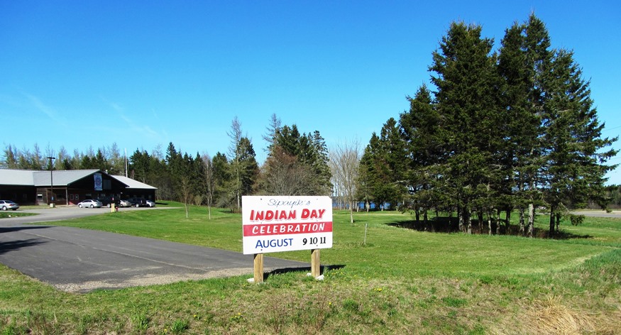
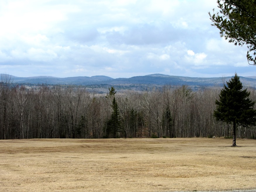
Orrington

1807 Orrington Cattle Pound (2003)

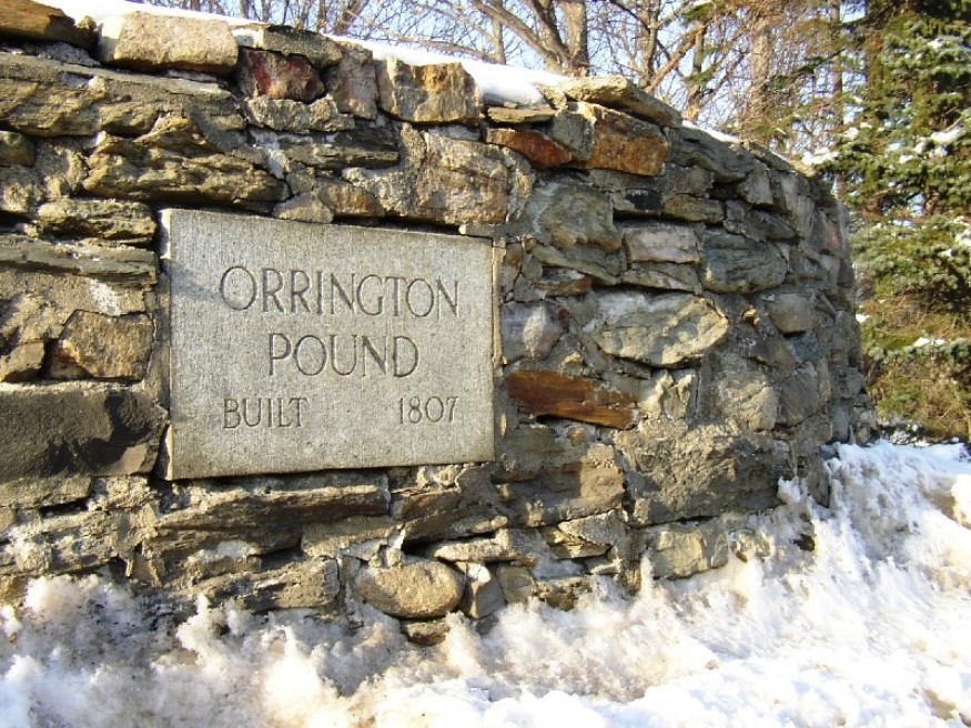
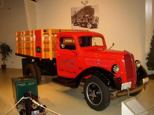
The town, on the east bank of the Penobscot River, is a suburb of the Bangor-Brewer area, showing moderate but consistent growth in recent decades. As part of the agricultural tradition throughout Maine is the usually circular, rock walled cattle pound, often used as a site to buy and sell farm animals, and to hold wandering livestock to keep them from destroying crops.

Osborn Plantation

Panoramic View of Mountains looking West from Route 179 in Osborn (2013)

Osborn hosts two lots of Maine’s Public Reserved Lands with many trees well over 100 years old. The Osborn lots have a long history of timber management. Spectacle Pond, through which the Union River flows, is a major asset of the town. With few major roads, it is served in its northwest corner by Maine Route 179.

Otis

Boat Launch on Beech Hill Pond (2013)

Located just north of Ellsworth, the town is dominated by Floods Pond and Beech Hill Pond, with several smaller ponds and streams mixed in. See photos. The small, old cemetery and the working forest symbolize Otis’ past and present as a sparsely populated, wooded area off the major highways.

Otisfield

Bridge Over the Crooked River from Otisfield to Harrison (2012)

Just north of the town of Casco on Maine Route 121, it offers substantial frontage on Pleasant and Thompson Lakes. The Crooked River serves as its boundary with Harrison. The Bell Hill Meetinghouse and Bell Hill Schoolhouse are well-preserved National Register historic structures in a rural setting.

Owls Head

The Knox County Regional Airport is located in Owls Head and is one of Maine’s busiest during the summer months. Owls Head State Park offers views of Penobscot Bay and the nearby Owls Head Transportation Museum contains vintage aircraft frequently flown over the Bay. Owls Head Light Station marks the southern entrance to Rockland Harbor.

Oxbow

Panoramic View North from Oxbow Road (2008)

Virtually all of the plantation’s population is located along the Oxbow Road, leading West from Maine Route 11. See photos. Aroostook River through the area make shapes similar to oxbows, the harness that keeps oxen attached to their loads. The western end of the Oxbow Road is marked by the “Oxbow Checkpoint,” an entry point to the North Maine Woods, most of which is privately owned.

Oxford

Field Overlooking Thompson Lake in Oxford (2012)

Routes 26 (the commercial strip) and 121 serve the community. See photos. The Oxford Casino is on Route 26 in the south of town. Oxford village, at the north end of Thompson Lake, hosts the town office, post office, and a small veterans memorial park. The Congregational Church was established in 1806 and is listed on the National Register. Though famous for auto racing at Oxford Plains Speedway, the nearby Androscoggin River passes several sizable ponds and Thompson Lake abuts the main village.

Palermo

Boat Launch at Sheepscot Pond in Palermo (2016)

The town has three villages. Palermo, at the south end of Branch Pond, spills over into China and was once known as Branch Mills. Greely Corner is on Route 3 just west of Sheepscot Pond. East Palermo is on the same highway just east of Sheepscot Pond. Palermo is dotted with numerous ponds and streams, providing an attractive escape from business life in the Augusta and Belfast areas.

Palmyra

Location Map for Palmyra

The Sebasticook River passes through Douglas Pond at the south end of the town, just above Pittsfield. A golf course and campground is adjacent to White Pond, in the eastern portion of the town, where a “hand-carry” boat launch is available. The Madawaska Wildlife Management Area straddles Madawaska Brook and encompasses the Madawaska Marsh.

Paris

1856 Paris Hill Academy Building (2019)

The Paris Hill neighborhood has several architecturally interesting old homes, while South Paris has been the industrial and manufacturing center. See photos. On the Stearns Hill Road the old Hungry Hollow schoolhouse sits on a small plot. South Paris village, split by the Little Androscoggin River, is the main population center and is half of the Norway-South Paris community.

Parkman

Manhanock Pond in Parkman on the Harlow Pond Road (2018)

Located just south of Guilford on Maine Route 150, the town contains Harlow Pond and major access to Manhanock Pond, which it shares with Sangerville. Since 1970 the town’s population has almost doubled; the census numbers do not reflect the non-resident population.

Parsonsfield

Porter-Parsonsfield Covered Bridge over the Ossipee River (2014)

Kezar Falls, a village on the Ossipee River named for George Kezar, is the largest in the area at the junction of Maine Routes 25 and 160. The community is split between Parsonsfield and Porter across the river, and is governed and taxed separately by the two towns. An early 20th century sanatorium, Maple Crest, was “located among the beautiful Limerick hills, the wild and picturesque outlines of which may be seen in every direction from the building. The view is in itself enough to stimulate the interest and mental activity so important to the cure of all diseases.

Passadumkeag

Passadumkeag River from the Railroad Bridge (2012)

The current village of Passadumkeag includes a small residential area east of U.S. Route 2. A community center (in a Quonset building), fire station, historical society, town office, post office, and the Passadumkeag Baptist are all on or near Pleasant Street in this small village.

Patten

The Village from Route 11 Looking North (2006)

has continued its focus on lumbering since early settlement, including its informative Lumberman’s Museum on the Shin Pond Road. The Stetson Memorial United Methodist Church anchors the southern end of the main street. See photos. The small community has witnessed a dwindling population over the past several decades with the loss of jobs in farming, lumbering, and the paper industry. Patten is the northern gateway from Interstate 95 to Baxter State Park.

Peaks Island

An Informal Stone Art Site along Seashore Avenue on Peaks Island

The Island is a City of Portland neighborhood in Casco Bay, accessible by ferry from the terminal on Portland’s waterfront.  The brief trip carries freight, vehicles, bicycles and tourists. Little Diamond Island and Great Diamond Island are just to the west. While the population is about 900, the number of people on this 720-acre island…

Pembroke

"The Square Pembroke, Me." (postcard c. 1905)

The town was noted for its shipbuilding, which began in 1825. By 1860 Pembroke had seven shipyards, though only two survived by the late 19th century. Pembroke’s Leighton Neck extends into Cobscook Bay and is bounded by the broad expanses of the Dennys River and the Pennamaquan River. Reversing Falls State Park is nearby. Beginning in Charlotte’s Pennaquam Lake and extending through Pembroke along the Pennaquam River is the Pennaquam Wildlife Management Area.

Penobscot

Penobscot River entering Penobscot Bay (2003)

The community takes its name from the Penobscot River, which forms its western boundary. See photos. In the late 19th century the town hosted a mining company, four wood-related mills, a meal and flour mill, and several manufacturers of clothing, barrels, carriages, harnesses and other items. Reached from Orland off U.S. Route 1, the town is served by Maine Routes 15, 175 and 199. Northern Bay, a major spur of the Bagaduce River, splits the southern end of the town.

Perham

Panoramic View from the north side of Mouse Island Road (2015)

The northern portion is dominated by a section of Maine Public Reserved Land, some of which encompasses the Salmon Brook Lake. A 1,055-acre Ecological Reserve surrounds the lake and wetlands. The 59-mile multi-use Bangor and Aroostook Trail is a located in Perham, Caribou, and other area towns. The trail, formerly a Bangor and Aroostook Railroad corridor, passes along the western side of Salmon Brook Lake Bog in Perham. Located west of Caribou on Maine Route 228. Perham is an agricultural community.

Perry

Passamaquoddy Tribal Office in Perry promoting Indian Day (2013)

Named for Commodore Oliver H. Perry, a naval hero of the War of 1812, the town was incorporated even as the British still held Eastport only six miles away. Perry is the gateway, via Maine Route 190, to the Pleasant Point Passamaquoddy Indian Reservation located withing the town, and to the City of Eastport. Boyden Lake dominates the northwest portion of the town, while the southwest has miles of protected coves approaching Cobscook Bay.