
Attean Pond and Mountain from Scenic Turnout in Jackman July, 1970
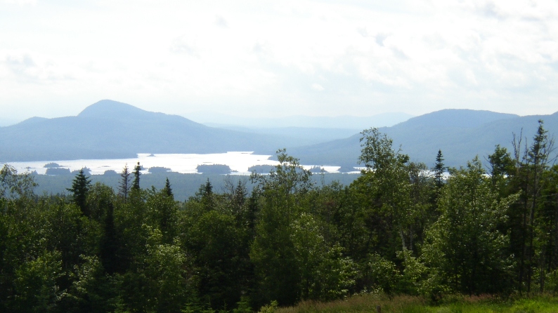
Attean Pond and Mountain from Scenic Turnout in Jackman July, 2004
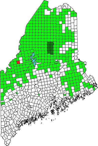
Location Map for Attean TWP
Etienne Orson was a settler in the area around 1793. McCauley reports that the name came from a mispronunciation of Etienne. In the township-range system it is T6 R7 NBKP.
The U.S. Census reported a single resident in 1870, five in 1900, fifteen in 1910, eighteen in 1920, and fifteen in 1930, the last report for Attean.
In the early 20th century, a series of camps, known as “ranches,” for sports were located near the Bangor and Aroostook Railroad.
One was on Birch Island, the largest in the Pond, then called Attean Lake. An advertisement for the ranches in Attean and Holeb declared,
These various Ranches, scattered as they are over a most beautifully picturesque region, afford not only ideal canoe trips and the perpetual charm and freedom of wood life, but they are exceedingly rich in Trout and Salmon (12,000 Salmon were placed in these waters in November), also Moose, Deer, Fox, Duck, Partridge, etc., which are very abundant in the season.
Immediately east of Jackman in northern Somerset County, the township surrounds Attean Pond, the 60th largest in Maine at about 2,800 acres. According to a survey report by the Maine Department of Inland Fisheries and Wildlife, in 1977:
Attean Pond is one of four large bodies of water in the Moose River drainage to the west of Jackman. More than 40 islands are found in the pond. With the exception of a set of commercial camps on some of these islands, the area remains undeveloped.
Sally Mountain to the north, Attean Mountain to the west, and rolling hills to the east and southeast complete a scenic background to the pond environment.
")
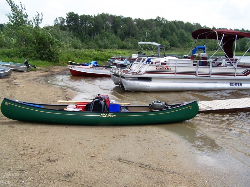
Canoes on a Beach (2006)
The shoreline of Attean Pond varies greatly in composition, providing a diversity of habitat types. Some areas consist of rock and ledge, others are gravelly, some weedy. Among these, several fine sandy beaches are found.
There are a number of good campsites around the pond, which are often used by people making the popular Moose River “Bow Trip”. Attean Pond is the beginning and end of this 30-mile canoe trip. A one-mile carry trail connects the western end of Attean with Holeb Ponds, which provides access to the Moose River and the opportunity to return to Attean.
")
")
Two fairly large mountains flank the sides of the pond: Attean at 2,242 feet, and Sally at 2221 feet. The shore is part of Maine’s Public Reserved Land, as is the eastern section of the township.
")
Signs to the Mountain Hiking Trails (2006)
")
Attean Mountain from the north shore (2006)

Dock at Attean Pond (2006)
The Landing (2006)
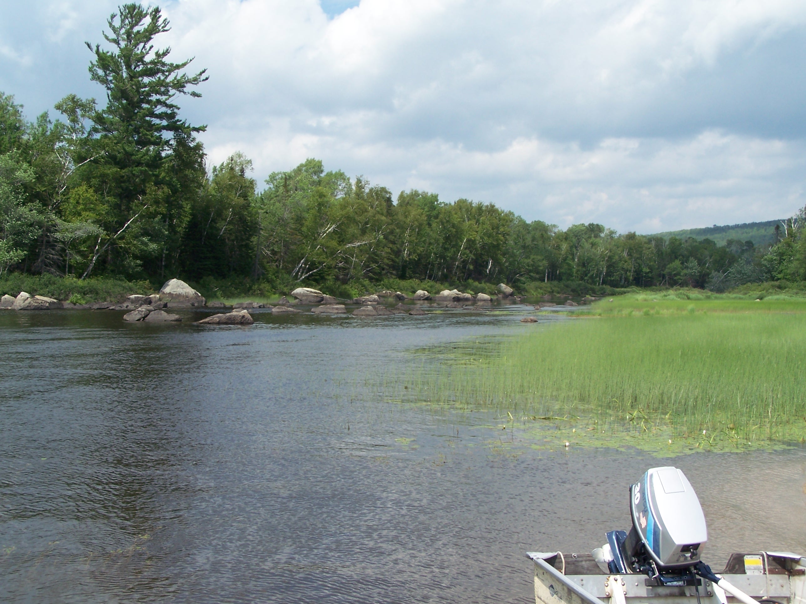
Stream to Wood Pond (2006)
Launch/landing site lies at the southeast shore near the Attean Road, which one may access from U.S. Route 201. A stream near the landing leads to nearby Wood Pond.
Additional resources
Clifford, Fred H. In the Maine Woods: A Vacationer’s Guide. Bangor, Me. Bangor and Aroostook Railroad. 1904., p.141.
McCauley, Brian. The Names of Maine: How Maine Places Got Their Names and What They Mean. p.10.
Appleton Township
lies southwest over Attean Mountain and by the Spencer Road off US 201, across the Parlin Pond for about 15 miles WEST.