
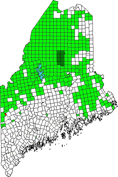
Location Map for Andover West Surplus
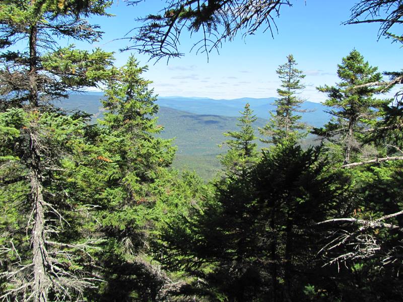
Panoramic View of the White Mountains from the AT (2011)
Andover West township is immediately southwest of Andover North Surplus, host to the next northerly section of the Appalachian Trail.
The Trail tracks the northwest corner of the township near the northeast slope of Little Bald Pate Mountain.
In 1945, (the green dots on the map) about halfway through the township, it followed Frye Brook, which begins at Surplus Mountain and empties into the West Branch of the Ellis
Topographic Map of AWS (1945)
River at the town of Andover line.
However, now it continues northwest from Little Baldpate Mountain to the township’s northwest corner, then turns right at Surplus Mountain for about one mile. Thereafter, it resumes its northwesterly course into Andover North Surplus, through to Dunn Falls and the East B Hill Road. (Map update will appear soon.)
")
Panoramic View from the AT (2011)
")
Panoramic View from the AT (2011)
")
Directional Sign on the AT (2011)
")
Frye Notch Lean To on the AT (2011)
")
Directional Sign at Frye Notch Lean To (2011)
Actually Frye Notch Lean-To is just over the
line in Grafton Township, but is presented here since it is accessed from the Andover West Surplus section of the Trail. Black Mountain, Little Bald Pate, and Lightning Ledge are the major elevations in the township.
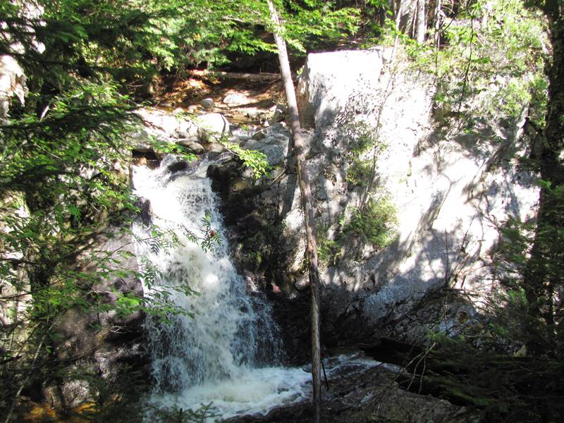
The Cataracts on the Appalachian Trail (2011)
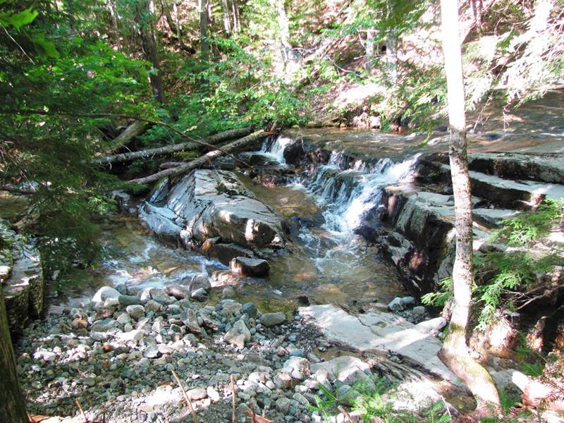
The Cataracts on the Appalachian Trail (2011)
Topographic map source: University of New Hampshire Dimond Library, Documents Department & Data Center, Historic USGS Maps of New England & New York, from http://docs.unh.edu/nhtopos/OldSpeckMountain.htm, accessed 1/6/2008.
![]() <= South Appalachian Trail – click a boot North
<= South Appalachian Trail – click a boot North ![]() =>
=>