")
South Arm Road in Autumn from the AT in Andover North Surplus (2007)
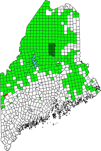
Andover North Surplus is a township immediately southeast of Township C, host to the next northerly section of the Appalachian Trail.
The “surplus” indicates that it did not fit easily into the original township layout of the state, thus the ten-mile by three-mile approximate dimensions.

1945 Topographic Map of Andover North Surplus with AT Path
The trail continues from the northeast corner to the southwest corner of the township. Given the snake-like course along the length of this long township, the Appalachian Trail here is probably the longest in any town or township in Maine. It winds over Moody, Hall and Wyman mountains, passing Sawyer Brook, Moody Brook, and Surplus Pond.
South Arm Road provides access to the township in the east, Sawyer Notch Road in the middle, and East B Hill Road in the western portion.

South Arm Road (2007)

Long View from the Trail (07)

North Slope Moody Mountain (2007)
Among the varied features of the trail are the “Gun-site” deep split in the terrain near the Hall Mountain lean-to, Dunn Falls, and Dunn Notch, a narrow depression near the Falls.

The Gun-sight Near Hall Mountain Lean-To (2007)

Rolling Mountains with a Hint of Fall Color (2007)

Dunn Notch near Dunn Falls (2007)
")
Dunn Falls (2013)
")
AT Entrance heading south, on the East B Hill Road (2010)
")
AT Entrance heading north, on the East B Hill Road (2010)
The Appalachian Trail crosses the B Hill Road in the Township. Hikers often hitch a ride to Andover to pick up mail and resupply at the General Store. Less than a mile south of the crossing lies an old cemetery containing the remains of a Civil War veteran.
")
Small, remote cemetery on the East B Hill Road (2010)
")
Gravestone of a Civil War veteran on the East B Hill Road (2010)
Topographic map: University of New Hampshire Dimond Library, Documents Department & Data Center, Historic USGS Maps of New England & New York, from http://docs.unh.edu/nhtopos/OldSpeckMountain.htm, accessed 1/6/2008. (Composite image from northwest corner and northeast corner sections.)
Photos and video content courtesy of Brady G. Williams 2007.
More Videos!
![]() <= South Appalachian Trail – click a boot North =>
<= South Appalachian Trail – click a boot North =>![]()